What is recorded here
Martry Mill has had the Blackwater turning a wheel to grind corn while other rivers spend their days admiring themselves. Four centuries of a mill on this spot: that river must dread hearing, ‘While you’re passing, will you do one more bag?’
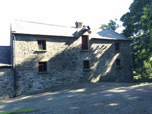
Group of three adjoining two-storey mill buildings, on L-shape plan, built c.1800. Probably built on site of an earlier mill structure. Buildings constructed of limestone rubble with dressed limestone quoins to corners and brick eaves courses. Pitched slate roofs to all structures. Stone surrounds to door and windows of main mill building and intermediate structure with stone sills and replacement timber sash windows. Brick surrounds to openings on eastern-most building. The main two-storey three-bay mill building is located to the west of the complex and runs perpendicular to the River Blackwater and main alignment of mill complex. A working waterwheel (undershot), c. 10-12ft in diameter, constructed of cast-iron with timber is located on the north gable of this structure. Three-bay two-storey building adjoins to west. Central loading bay (full-height) with timber beam and remains of sack-hoist to first floor of this structure. The timber louvred vent in the roof of this structure indicates that it was used as a grain-drying kiln. Stone-lined tailrace, c. 10m in width, headrace with timber and metal sluice gates and stone weir to site.
This recently refurbished mill complex is one of the few working waterwheels in Ireland. There has been a mill at this location since the Civil Survey of 1641. Documentary evidence indicates that this mill belonged to the Tisdale Estate at Charlesfort and that it operated as a corn and flax mill until the early ninetheenth century. From this period the complex has been used exclusively as a corn mill. It is likely that much of the complex dates from this period. Although Marty Mill is modest in terms of architectural design and form it is very important in social and industrial terms and represents a significant survival of a scale-scaling milling operation. (Photos courtesy of IAC Ltd - 2016)
From the Buildings of Ireland (National Inventory of Architectural Heritage) record 14401714
This does not grant access. Most recorded buildings are privately owned; view them only from public ground unless the owner allows entry.
Places near here
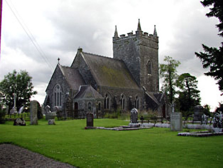 Saint Patrick's Church (Donaghpatrick)Church/chapel · 1.1 mi
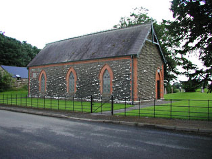 Saint Patrick's Church (Donaghpatrick)Church hall/parish hall · 1.1 mi
 Tuliptree1.5 miBallybegMountain / peak · 1.7 miFaughan HillMountain / peak · 1.9 mi
 Sycamore3.5 mi
 Headfort HouseCastle · 3.7 mi
 Round Tower4.5 mi
 Kells High Crosses and Round TowerMemorial · 4.5 mi
 Kells Round TowerMemorial · 4.5 mi
 CastleCastle, motte · 4.8 mi
 Spire of LloydMonument · 5.6 mi
Pictures: National Inventory of Architectural Heritage; Jean-Pol GRANDMONT, Wikimedia Commons · CC BY 3.0; Christian Pirkl, Wikimedia Commons · CC BY-SA 3.0 at; Robert Adam, Wikimedia Commons · Creative Commons Zero, Public Domain Dedication; Stephen Keaveny, Wikimedia Commons · CC BY-SA 4.0; Mark Duncan, Geograph · CC BY-SA 2.0; Nigel Thompson, Geograph · CC BY-SA 2.0; Garry Dickinson, Geograph · CC BY-SA 2.0; XNukes, Wikimedia Commons · CC BY-SA 4.0
More historic places in County Meath · All of County Meath
What do you know about this place?