
What is recorded here
Children's Burial Ground in County Cork, Ireland, appears on the 1842 map as a subrectangular area now buried beneath tillage. The land holds forgotten children, their small bodies hidden under ploughed soil and time. No stone or marker remains, yet the boundary drawn by surveyors still points to the exact spot where innocence departed.
In tillage. Marked 'Children's Burial Ground' on OS 6-inch map (1842). Shown as subrectangular area on all three eds. of OS 6-inch map. No visible surface trace.
The above description is derived from the published 'Archaeological Inventory of County Cork. Volume 1: West Cork' (Dublin: Stationery Office, 1992). In certain instances the entries have been revised and updated in the light of recent research.
Date of upload/revision: 14 January 2009
The monument record does not grant public access. Check the route and ask the landowner before entering private land.
- What survives
- Recorded monument
Places near here
 Wedge tomb in Kealanine (carbery W. (w.d) By.)Wedge tomb · 696 yd
 Fulacht FianFulacht fia · 954 yd
 Dromore Schoolschool · 1.2 mi
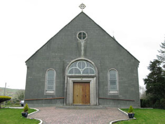 St. Joseph's Roman Catholic Churchchurch/chapel · 1.4 mi
 Francis O'Neill PlaqueMemorial · 2.3 mi
 Moyny Bridge WalkWalking route · 2.4 mi
 Delish Cascade WalkWalking route · 2.6 mi
 Castle DonovanCastle · 2.7 mi
 Castle Donovan (in Ruins)Castle, tower house · 2.7 mi
 Mullach MéiseMountain / peak · 3.1 mi
 Nowen Hill SW TopMountain / peak · 4.5 mi
 Snave StrandBeach / strand · 7.2 mi
Other information
Photo: Credit not shown in the picture search · Rights wording not checked; contact us if this picture should be removed