What is recorded here
Elliptical enclosure (70m E-W x 50m N-S) with opposing entrances on the N and S visible on AP taken by G.F. Barrett (GB 89/CW 7.1). Two circular features (each with a diam. of c. 20m) visible within it. (Barrett 2002, 11). As part of an archaeological assessment for a proposed housing development in 2001, three test trenches were opened across the enclosure (Excavation Licence 00E0829 ext.). A ditch (Wth 1.9m - 2.1m) was exposed in all three trenches with burnt bone and charcoal clearly visible in the upper fill of one of them. (O' Donovan and O' Neill 2003, 7). Further archaeological testing to the N, E and W of the enclosure was carried out as part of the residential development in 2002 (O' Hara, R. 2004, 13). This phase of testing did not reveal anything of archaeological significance. The enclosure was excluded from the development and a buffer of 50m was established around it.
Date of uplaod/revision: 03/02/2009
The monument record does not grant public access. Check the route and ask the landowner before entering private land.
- What survives
- Recorded monument
Places near here
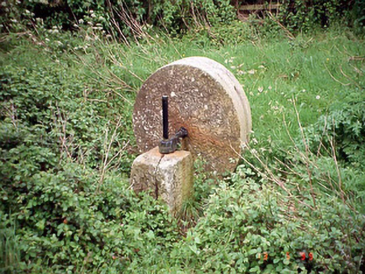 culm crusherculm crusher · 115 yd
 Enclosure in StaplestownEnclosure · 470 yd
 Grave YardGraveyard · 593 yd
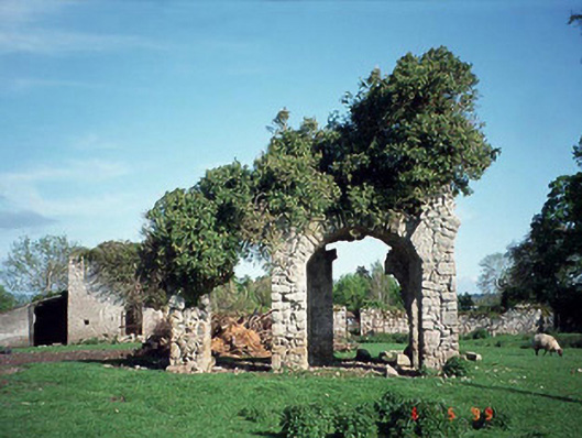 Staplestown Turretscountry house · 1041 yd
 Brownshill Portal TombVisitor information · 1.2 mi
 Graigue Castle in ruinsCastle, unclassified · 1.3 mi
 Carlow County MuseumMuseum · 1.6 mi
 White willowWhite willow · 1.6 mi
 CastleCastle, Anglo-Norman masonry castle · 1.8 mi
 Pedunculate OakPedunculate Oak · 2.3 mi
 Kilmurry Church (in ruins), GraveyardChurch · 4.4 mi
 Killeshin ChurchVisitor information · 4.7 mi