What is recorded here
Chapelbride is a quiet land where two small pits still hold carbon from fires that raged during the Early Iron Age. Separated by thirty-five metres on a gentle slope, they mark a forgotten human presence rather than a grand monument. One pit contains charcoal and burnt clay, while the other holds hammerscale and slag, suggesting smithing or heat-worked activity. A ditch stretches east beside them, carrying later pottery into its stony fill. The place is small, but it preserves a moment when people lived, made things and left behind evidence that endurance can appear in the least expected form.
Situated on a gentle W-facing slope. Archaeological centre-line testing (04E1054) by D. Bayley (2005) at Testing Area 3 of Contract 5 of the M3 motorway (excavations.ie 2004:1223) identified archaeological material that was fully resolved (E003172) by E. Danaher in October 2006 as Chapelbride 1 (excavations.ie 2006:1527). Two small pits were c. 35m apart. The W pit (diam. 0.69-0.73m; D 0.11m) was filled with a black clay with pockets of burnt clay and charcoal flecks which produced a C14 date of 389-202 cal. BC (Beta 247163) from a sample of charred oak. The E pit (diam. 0.57-0.68m; D 0.11m) had a fill of reddish brown burnt clay and black clay with frequent charcoal flecks, hammerscale and a small amount of slag. Two radiocarbon dates (401-206 cal. BC; 386-183 cal. BC) derived from charred oak samples (Beta 247164, 247165) are also in the Early Iron Age. An E-W ditch (Wth 2.4m) just S of the E pit had a stony fill and extended off to the E (L 11.3m plus) and produced two sherds of post-medieval pottery. (Danaher and Ginn 2008)
Compiled by: Michael Moore
Date of upload: 4 March 2022
The monument record does not grant public access. Check the route and ask the landowner before entering private land.
- What survives
- Recorded monument
Places near here
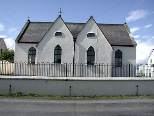 Drumbaragh National Schoolschool · 883 yd
 Decoy WoodWood · 1157 yd
 Enclosure in Boolies (kells Upper By., Burry Ed)Enclosure · 1546 yd
 Enclosure in Calliaghstown (kells Upper By.)Enclosure · 1.3 mi
 Jack's WoodsWood · 1.3 mi
 Tower of Lloydmonument · 1.5 mi
 The Pauper's CemeteryMemorial · 1.6 mi
 Great Famine ProjectMemorial · 1.6 mi
 CloncatMountain / peak · 2.5 mi
 MountainpoleMountain / peak · 2.6 mi
 MoatCastle, motte and bailey · 2.6 mi
 Round TowerCastle, tower house · 3.2 mi