What is recorded here
Fairy fort / ringfort in Chanonstown is a fairy fort or ringfort in Chanonstown, County Westmeath, Ireland. It sits atop a natural hillock on reclaimed grassland, 100 metres southeast of the River Deel. The site features a circular area approximately 31 metres north-south and 38 metres east-west, defined by an earthen bank. Possible traces of an outer enclosure to the south and east form a bailey type area defined by a low scarp or bank, which may be a topographical feature.
Situated atop natural hillock on reclaimed grassland, 100m SE of the River Deel. Ringfort (WM020-136----) 40 to N. Outline of circular shaped area (approx. diam. 31m N-S x 38m E-W) defined by an earthen bank with possible traces of an outer enclosure to S and E forming a bailey type area defined by a low scarp or bank which may be a topographical feature, is visible today on Digital Globe aerial photography.
Compiled by Caimin O’Brien.
Date of upload: 10 July 2019
The monument record does not grant public access. Check the route and ask the landowner before entering private land.
- What survives
- Recorded monument
Places near here
 Hut site in Balrath EastHut site · 402 yd
 IndicatedFairy fort / earthen ringfort · 634 yd
 CastleCastle, motte · 785 yd
 Reynella Cottageoutbuilding · 922 yd
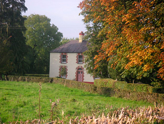 Scarden Househouse · 1590 yd
 DardistownCastle, unclassified · 1.1 mi
 GinkgoGinkgo · 1.1 mi
 ScregganWood · 5.1 mi
 Kells HillMountain / peak · 9.2 mi
 Seafin HillMountain / peak · 9.9 mi
 Croppies' GraveMemorial · 10 mi
 Partially hachuredFairy fort / earthen ringfort · 1283 yd