What is recorded here
Fairy fort / ringfort in Chanonstown is a fairy fort or ringfort in Chanonstown, County Westmeath, Ireland. The revised 1913 edition of the Ordnance Survey 25-inch map depicted the site as an oval-shaped earthwork with dimensions of 36 metres on a north-northwest to south-southeast axis and 31 metres on a northeast to southwest axis. The monument is situated in gently undulating pasture, and the 2005 account from the ASI recorded that it had been levelled but not visited. A partial cropmark running from west through north to east and south is visible on Digital Globe aerial photography, where it is transected by a linear field boundary running north-northwest to south-southeast across the southwest sector.
Situated in gently undulating pasture. Depicted on the revised 1913 ed. OS 25-inch map as an oval-shaped earthwork (dims. 36m NW-SE; 31m NE-SW). Levelled monument described by the ASI in 2005 as not visited. Outline of levelled monument is visible today on Digital Globe aerial photography as a partial cropmark from W-N-E-S which is transected by a linear field boundary running NW-SE across the SW sector.
Compiled by Alison McQueen, Vera Rahilly and Caimin O’Brien.
Date of upload: 09 July 2019
The monument record does not grant public access. Check the route and ask the landowner before entering private land.
- What survives
- Recorded monument
Places near here
 Hut site in Balrath EastHut site · 367 yd
 IndicatedFairy fort / earthen ringfort · 520 yd
 Reynella Cottageoutbuilding · 836 yd
 CastleCastle, motte · 896 yd
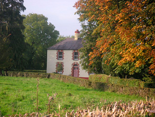 Scarden Househouse · 1597 yd
 DardistownCastle, unclassified · 1.0 mi
 GinkgoGinkgo · 1.1 mi
 ScregganWood · 5.1 mi
 Kells HillMountain / peak · 9.2 mi
 Seafin HillMountain / peak · 9.8 mi
 Croppies' GraveMemorial · 10 mi
 Partially hachuredFairy fort / earthen ringfort · 1389 yd