What is recorded here
Barrow is a barrow (unclassified) in Chanonstown, County Westmeath, Ireland. The site lies in pasture just east of the summit of Sion Hill and immediately north of the townland boundary, offering extensive views in all directions. A 1970 account described it as a partially levelled, much disturbed raised area measuring 13.7 metres east-northeast to west-southwest and 10 metres north-northwest to south-southeast, defined by a steep scarp 1.8 metres high with no visible trace of a fosse or outer bank.
Situated just E of the summit of Sion Hill and immediately N of townland boundary, in pasture, with extensive views in all directions. Depicted on the revised 1913 ed. OS 25-inch map as a suboval-shaped earthwork. Possible burial mound (WM020-045----) lies c. 62m to WNW. Partially levelled monument described in 1970 as a much disturbed, raised roughly circular-shaped area (dims. 13.7m ENE-WSW; 10m NNW-SSE) defined by a steep scarp (H 1.8m). There is no visible trace of a fosse or an outer bank. The original entrance is not visible. An elongated quarry hole extends from the centre of the interior to the perimeter at SE. Monument is not visible today on Digital Globe aerial photography. Hilltop location and small diameter of earthwork described in 1970 suggests that this may may been a prehistoric burial monument.
Compiled by: Alison McQueen, Vera Rahilly and Caimin O’Brien
Date of upload: 04 July 2019
This remains an important historical record, but the official description says the monument is no longer visible or has been destroyed. The monument record does not grant public access. Check the route and ask the landowner before entering private land.
- What survives
- No visible remains or recorded as destroyed
Places near here
 CastleCastle, motte · 90 yd
 Partially hachuredFairy fort / earthen ringfort · 911 yd
 Hut site in Balrath EastHut site · 1134 yd
 Kilpatrick ChurchChurch · 1424 yd
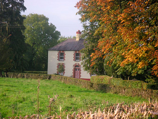 Scarden Househouse · 1470 yd
 Edmondstown Castle (in Ruins)Castle, tower house · 1.1 mi
 GinkgoGinkgo · 1.6 mi
 ScregganWood · 5.0 mi
 Kells HillMountain / peak · 9.7 mi
 Croppies' GraveMemorial · 9.9 mi
 IndicatedFairy fort / earthen ringfort · 1391 yd
 Ecclesiastical enclosure in CorbetstownEcclesiastical enclosure · 1417 yd