What is recorded here
Fairy fort / earthen ringfort in Chamberlainstown is a fairy fort or earthen ringfort in Chamberlainstown, County Tipperary, Ireland. It occupies the flat summit of a low north-south ridge in undulating grassland. A field bank cuts through the northern quadrant and crosses the interior from northwest to southeast. Scrub, brambles and nettles now cover much of the earthworks.
On flat level summit of low ridge running N-S, in undulating grassland. Area immediately surrounding monument is covered in scrub. Ringfort (diam. c. 35-40m) itself is heavily overgrown with scrub, brambles and nettles. It is enclosed by bank (Wth 2.1m crest, 5.7m base; int. H 0.53m; H above fosse 1.82m); fosse (Wth 1.9m; D 1.1m). Gap (Wth 1.2m) in N quadrant where field bank runs N-S across the fosse to join with inner face of bank. This field boundary continues across the interior, transecting the ringfort NW-SE. NE quadrant is defined by low bank, almost reduced to scarp (Wth 2.6m crest, 4.3m base; H above int. 0.27m; H above ext. 0.87m).
Compiled by: Jean Farrelly
Date of upload: 26 August 2011
The monument record does not grant public access. Check the route and ask the landowner before entering private land.
- What survives
- Recorded monument
Places near here
 Enclosure in OuteraghEnclosure · 1215 yd
 IndicatedEnclosure · 1482 yd
 Outeragh Castle (in ruins)Castle, unclassified · 1628 yd
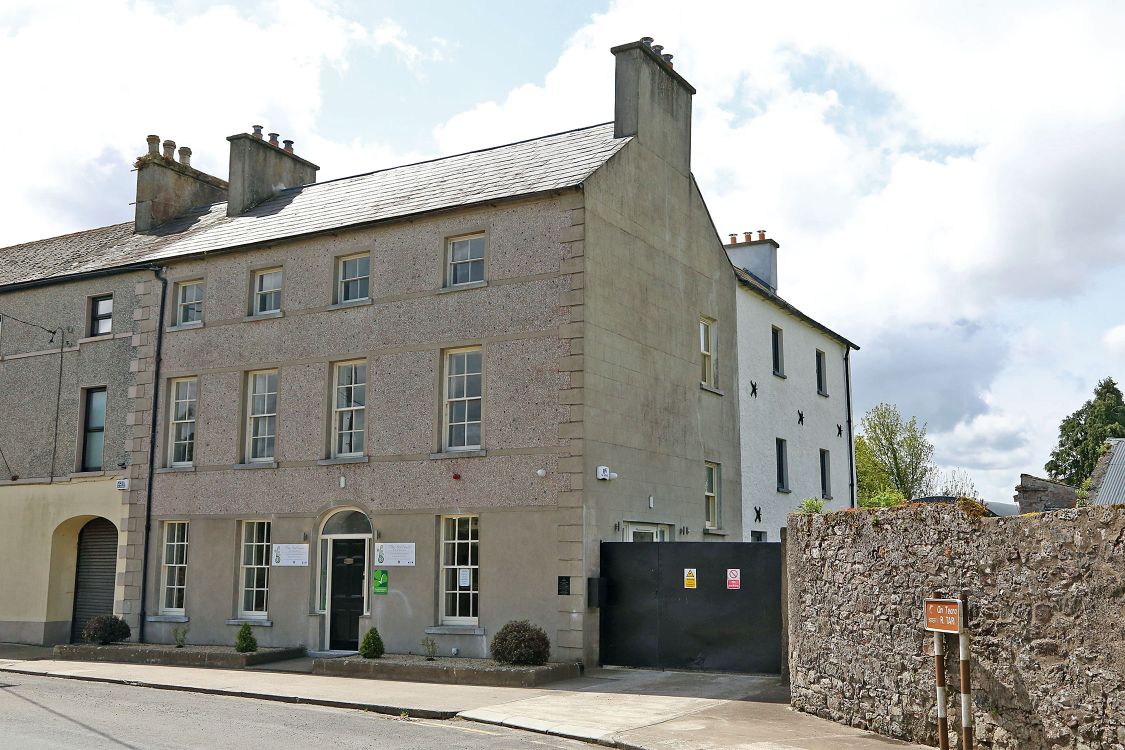 Woodinstown Ho.Castle, tower house · 1729 yd
 Outeragh Church (in ruins)Church · 1739 yd
 Mortlestown Church (in ruins)Church · 1.0 mi
 Caher AbbeyHeritage attraction · 3.7 mi
 Siege of Cahir Castlesiege · 3.9 miCahir CastleHeritage attraction · 4.0 mi
 European YewEuropean Yew · 4.8 mi
 Cottagehill WoodForest · 4.9 mi
 SturrakeenMountain / peak · 8.1 mi