
What is recorded here
Crofton's forgotten chapel still stands buried beneath the graveyard at Mohill, waiting for someone reckless enough to dig through five centuries of rain and forgetfulness. Henry Crofton seized the ancient rectory in 1620, built his tomb, and vanished into history while St. Manchan's monastery continued breathing underneath every stone he laid. The church on the slope is not new; it is a palimpsest where Crofton's ambition, medieval faith and human mortality keep layering themselves without asking permission.
Situated on a slight E-facing slope within Mohill town, with a small N-S stream that flows down to Lough Rinn just to the E. In 1470 it is described as a parish church (Mac Namee 1954, 724) and the head of the rectory of Muinter Eolais with seven churches (Scully 2019, 137). In 1620 Henry Crofton acquired the rectory and the medieval parish church of Mohill which were on the site of St. Manchan’s monastery (LE032-068001-) and 600 acres (MacCuarta 1999, 130), but he added a chapel and a tomb for himself (Logan 1971, 327-8). The foundations of a rectangular building (ext. dims 4.35m N-S by at least 3m E-W), probably the remnants of Crofton’s chapel, were in the graveyard in 1991 (SMR file) just W of the present Church of Ireland church which was built c. 1815 (Lewis 1837, vol. 2, 376), but these remains had been removed by 2019. The graveyard is a sub-rectangular area (dims c. 90m N-S; c. 30-60m E-W) defined by masonry walls, with memorials dating from 1754 to the present.
The above description is derived from 'The Archaeological Inventory of County Leitrim' compiled by Michael J. Moore (Dublin: Stationery Office, 2003). In certain instances the entries have been revised and updated in the light of recent research.
Compiled by: Michael Moore
Date of upload: 23 September 2008
Amended: 6 December 2019, 10 January 2020
The church on the site of the former Abbey in Mohill was likely founded in the medieval period, with records from 1470 describing it as a parish church and the head of the rectory. Its exact builder is not identified, but it reflects the ecclesiastical structure of the time and held administrative significance within the local diocese.
The monument record does not grant public access. Check the route and ask the landowner before entering private land.
- What survives
- Recorded monument
Places near here
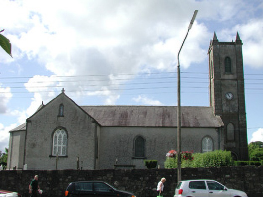 Saint Mary's Church (Mohill)church/chapel · 21 yd
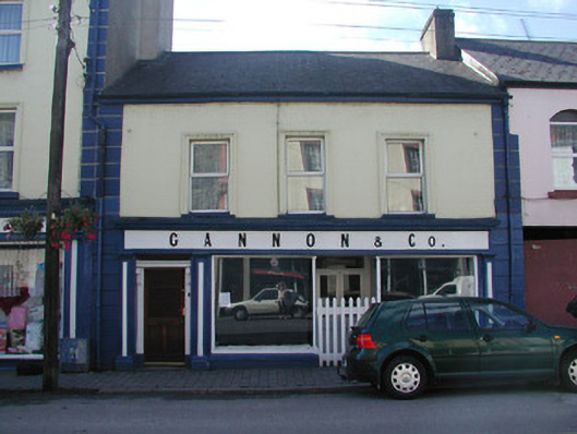 Gannon and Companyhouse · 37 yd
 Turlough O'Carolan MonumentHeritage attraction · 53 yd
 indicatedBawn · 208 yd
 Tober RonanHoly well · 659 yd
 Giant's GraveArchaeological place · 1.5 mi
 Holy WellHoly well · 1.5 mi
 Little IslandIslet · 1.9 mi
 Duck IslandIslet · 1.9 mi
 Lawson's CypressLawson's Cypress · 2.0 mi
 TuliptreeTuliptree · 2.0 mi
 CastleCastle, tower house · 2.2 mi
Other information
Photo: Credit not shown in the picture search · Rights wording not checked; contact us if this picture should be removed