What is recorded here
St. Conlan’s medieval parish church ruins stand in the north quadrant of a large graveyard on the crest of a hill above Youghal. The graveyard contains 18th and 19th century memorials, a handball alley in the west quadrant, and a blocked doorway into a mausoleum visible in the external face of the south wall. St. Conlan's Well and holy tree stand 370m to the northeast. The 1654-56 Civil Survey of Tipperary recorded that on the lands of Youghill stands the Church of Youghill Parish.
St. Conlan’s medieval parish church ruins (TN014-045001-) of Youghal stands in the N quadrant of a large graveyard (TN014-045003-) on the crest of a hill with good views of the surrounding countryside. St. Conlan's Well (TN014-044001-) and holy tree (TN014-044001-) stands 370m to the NE. The 1654-56 Civil Survey of Tipperary recorded that on the lands of ‘Youghill’ (Youghal) ‘stands the Church of Youghill Parish’ (Simington 1934, 138). The Civil Survey recorded that in 1640 the Vicar of the Parish of Youghal was the owner of 1 acre of glebeland which was valued at 5s. per annum and was described as ‘lying on the north of the Church of Yeoghill & is fenced about with a ditch’ and is ‘totally wast[e]’ (ibid. 394).
Church ruins (TN014-045001) located in N quadrant of a large sub-rectangular shaped graveyard (int. dims. 54m N-S ; 49m E-W) enclosed by a stone wall with entrance gate and stile at W. The graveyard contains 18th and 19th century memorials with handball alley in W quadrant. Blocked doorway into mausoleum visible in external face of S wall of graveyard.
Compiled and revised by: Caimin O'Brien.
Date of revised upload: 5 September 2022
The monument record does not grant public access. Check the route and ask the landowner before entering private land.
- What survives
- Recorded monument
Places near here
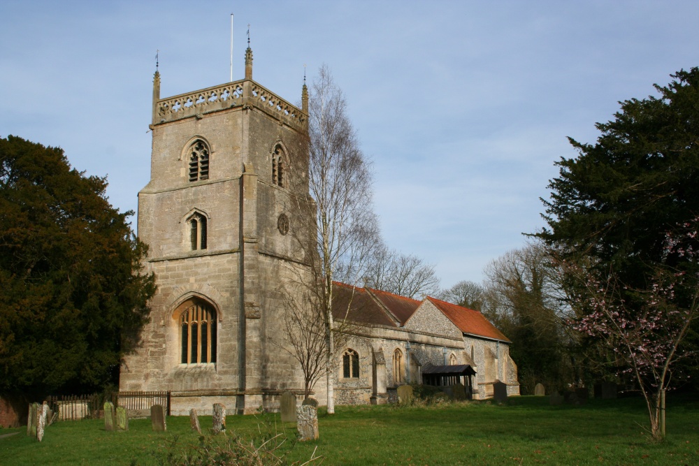 St. Conlans Church (in ruins)Church · 21 yd
 Blessed WellNature reserve · 422 yd
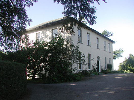 Youghal Househouse · 773 yd
 Monroe Castle in ruinsCastle, unclassified · 1269 yd
 IndicatedFairy fort / earthen ringfort · 1494 yd
 Mass RockNamed rock · 1553 yd
 Tomona Castle (in ruins)Castle, unclassified · 1.2 mi
 Youghal BayBay · 1.4 mi
 Ecclesiastical enclosure in KilparteenEcclesiastical enclosure · 1.5 mi
 Garrykennedy ForestWood · 1.9 mi
 CopperminesCave · 2.1 mi
 Giant's GraveArchaeological place · 2.4 mi