What is recorded here
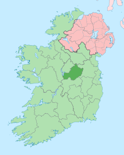
Partially hachured is a fairy fort or ringfort in Cavestown AND Rosmead, County Westmeath, Ireland. The site sits on low lying reclaimed grassland with bog 50 metres to the east, and the 1837 OS Fair Plan map depicts only the eastern half of the monument, annotating it as a Fort. The 1837 edition of the OS 6-inch map shows the monument as a semi-circular arc of an enclosure surviving from north-east through east to south-southwest. No surface remains are visible of the levelled monument, which is not depicted on any subsequent edition of the OS 6-inch maps.
Situated on low lying reclaimed grassland with bog 50m to E. Only the E half of the monument is depicted on the 1837 OS Fair Plan map where it is annotated as a ‘Fort’. On the 1837 ed. OS 6-inch map the monument is depicted as a semi-circular arc of an enclosure surviving from NE-E-S-SW only. Not depicted on any subsequent edition of the OS 6-inch maps. No surface remains visible of levelled monument.
Compiled by: Frank Coyne and Caimin O'Brien
Date of upload: 28 April 2017
The monument record does not grant public access. Check the route and ask the landowner before entering private land.
- What survives
- Recorded monument
Places near here
 OutlinedFairy fort / earthen ringfort · 600 yd
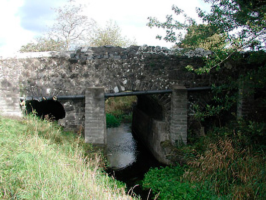 Graulty's Bridgebridge · 1054 yd
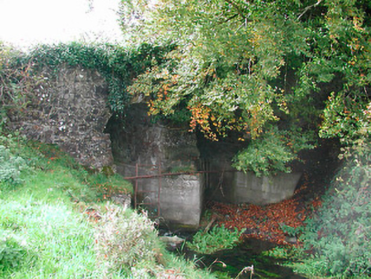 Snipe's Bridgebridge · 1095 yd
 Not idnicatedEcclesiastical enclosure · 1263 yd
 Clonarney Church (in Ruins)Castle, tower house · 1277 yd
 CastleCastle, unclassified · 1.3 mi
 European YewEuropean Yew · 1.6 mi
 Persian WalnutPersian Walnut · 1.7 mi
 Kells HillMountain / peak · 3.8 mi
 The Sloe HillMountain / peak · 4.0 mi
 Zip WireHeritage attraction · 7.1 mi
 LoughcrewMegalithic tomb cemetery · 7.3 mi