
What is recorded here
Crow fort stands on a Monaghan drumlin, a twenty-four metre circle marked by a low scarp and hidden beneath deciduous trees. It has no visible entrance or ditch, suggesting the boundary was never meant for human eyes but for crow flight. The collapsed field wall at its base may mark a forgotten human attempt to claim what already belonged to the sky.
Located on top of a drumlin. It is depicted on the 1834 and 1907 editions of the OS 6-inch map and is described as ‘Crow fort’ in gothic lettering on the latter. This is a circular area (diam. 24m N-S; 24m E-W) defined by a scarp (at E: Wth 1m; H 0.8m; at W: H 1.2m). There is no visible fosse or entrance, but the base of the scarp is surrounded by a collapsed field wall SW-NW. It was adapted as a tree-ring and the perimeter is planted with deciduous trees.
The above description is derived from the published 'Archaeological Inventory of County Monaghan' (Dublin: Stationery Office, 1986). In certain instances the entries have been revised and updated in the light of recent research.
Revised by: Michael Moore
Date of revision: 4 May 2018
The monument record does not grant public access. Check the route and ask the landowner before entering private land.
- What survives
- Recorded monument
Places near here
 The Dark WoodWood · 130 yd
 The Beech WoodWood · 299 yd
 IndicatedFairy fort / earthen ringfort · 620 yd
 Catholic Church of the Immaculate Conceptionchurch/chapel · 667 yd
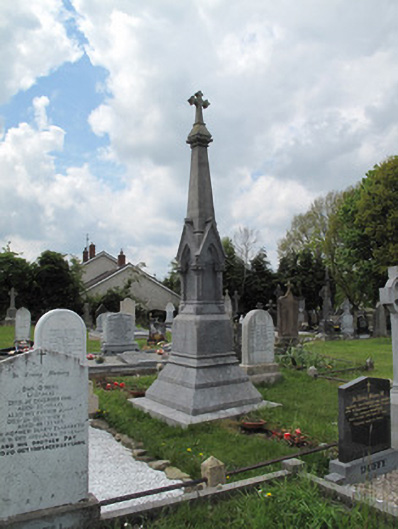 Scotshouse GraveyardGrave monument · 681 yd
 Killfargy fortFairy fort / earthen ringfort · 1096 yd
 SandhillsMountain / peak · 1.4 mi
 LattacrossanMountain / peak · 1.6 mi
 Ulster Canal Stores Visitor CentreHeritage attraction · 3.4 mi
 The Cassandra Hand CentreMuseum · 3.6 mi
 Drumcarn Ho.Castle, unclassified · 4.0 mi
 Saint John's WellSpring · 4.5 mi
Other information
Photo: Credit not shown in the picture search · Rights wording not checked; contact us if this picture should be removed