What is recorded here
No visible features survive of the Kilbobbin Burial Ground, yet the small circular hill still stands in good land with extensive views toward the Finn Valley. The absence of stones does not erase the purpose of the place. People may have chosen that height because death and distance belong together, and the valley below remains large enough to carry both.
No visible features survive of the 'site of Kilbobbin Burial Ground' shown on the 2nd edition of the OS 6-inch map. It was located on a small, circular hill c. 20m-30m in diameter in good land with extensive views S towards the Finn Valley.
The above description was derived from the 'Archaeological Survey of County Donegal. A description of the field antiquities of the County from the Mesolithic Period to the 17th century.' Compiled by: Brian Lacey with Eamon Cody, Claire Cotter, Judy Cuppage, Noel Dunne, Vincent Hurley, Celie O'Rahilly, Paul Walsh and Seán Ó Nualláin (Lifford: Donegal County Council, 1983). In certain instances the entries have been revised and updated.
Date of upload: 22 September 2008
The monument record does not grant public access. Check the route and ask the landowner before entering private land.
- What survives
- Recorded monument
Places near here
 Castle (Site of)Castle, unclassified · 1075 yd
 Enclosure in CarricknamannaEnclosure · 1167 yd
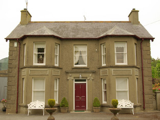 Kia Meuahouse · 1245 yd
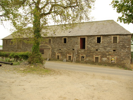 Cavan Houseoutbuilding · 1393 yd
 Holy WellHoly well · 1.4 mi
 Site of CastleCastle, unclassified · 2.1 mi
 Drumboe WoodForest recreation place · 2.4 mi
 Carnowen HillMountain / peak · 4.4 mi
 Lismullyduff MountainMountain / peak · 4.6 mi
 Newmills Corn and Flax MillsHeritage attraction · 8.9 mi
 Battle of Scarrifholisbattle · 9.0 mi
 Killeter ForestForest · 10 mi