
What is recorded here
Castle Cambie, later Castletown, rose from a Lough Derg ridge around 1600 with loops and crenellations that admitted no stranger uninvited. It still breathes as a family home, its small-pane sashes and pointed-arch door keeping the shape of the people who first lived there. The later wing and link simply widened the threshold, while the old loops still aim across the water like reminders that hospitality and vigilance can share one roof.
Detached multiple-bay four-storey rectangular-plan fortified house of c.1600 with three-bay two-storey wing built c.1820 onto southeast side and connected by three-storey link containing main doorway. Pitched slate roofs behind crenellated battlements, having rendered chimneystacks. Roughcast rendered walls. Variety of timber sliding sash windows, six-over-six pane to ground floor, four-over-four pane to first and eight-over-eight to second, including double round-headed sashes and with segmental-headed triple-sash four-over-four pane window in southeast gable of later block, also with loops to earlier block. Pointed-arch main doorway with timber battened door. Wall to south of building and formal walled garden may both be contemporary with earlier building. Single and two-storey stone outbuildings having pitched slate roofs, one with carriage arches, located to southeast of house. Cut-stone gate piers with balls to gateways in random stone boundary walls, one with castellated coping, other with stile.
Castletown, previously known as Castle Cambie, is situated on a rise of ground overlooking Lough Derg. Of considerable architectural and historical significance as a fortified house which is still in use as a family home. Some alterations were carried out in the later nineteenth century to the interior and window openings, although much of the original building can still be seen. Small-pane timber sash windows of the nineteenth century, and possibly earlier, have been retained as have significant interior elements.
This does not grant access. Most recorded buildings are privately owned; view them only from public ground unless the owner allows entry.
Places near here
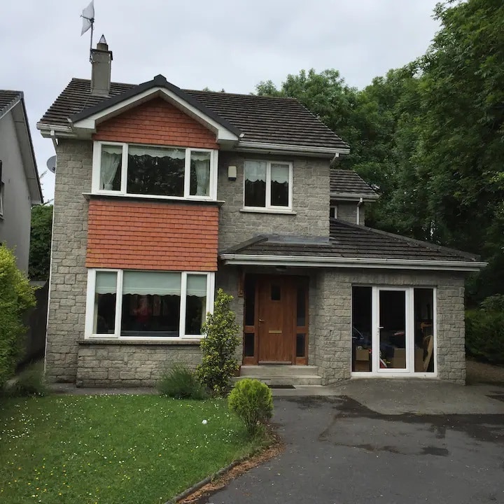 Kilbarron WellHoly well · 778 yd
 Leserragh Househouse · 801 yd
 Kilbarron Abbey (in ruins)Church · 872 yd
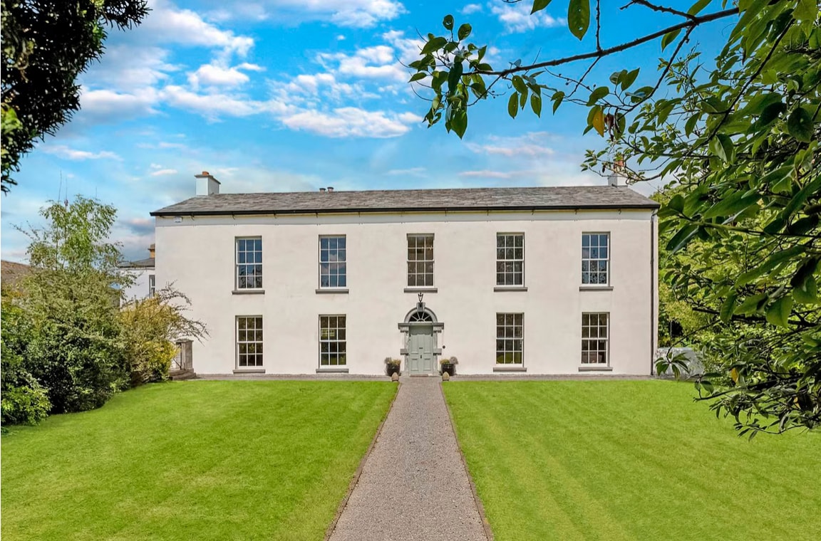 Enclosure in Coolbaun (kilbarron Par.)Enclosure · 949 yd
 Goose IslandIslet · 1062 yd
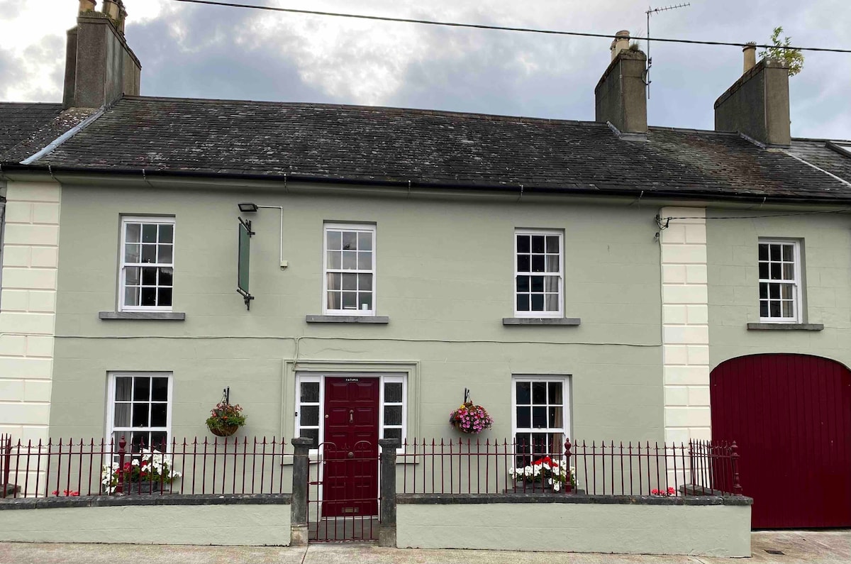 Cashlaunteigeboght (in ruins)Castle, tower house · 1.1 mi
 Carrickboy WoodForest · 1.5 mi
 Goat IslandIslet · 1.7 mi
 Tullan CastleCastle · 1.7 mi
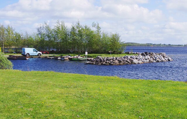 Lough DergNationally known place · 2.6 mi
 Kylenameely WoodWood · 3.1 mi
 Coose BayBay · 3.3 mi
Other information
Photo: Mike Searle · CC BY-SA 2.0