What is recorded here
Two houses are marked on the Down Survey (1656-8) parish map of Carne close to the castle (WX053-023----) at Castlepaliser/Ballyfane (2). The location of this house is not precisely known. According to the Book of Survey and Distribution (1660s) 110 acres in the townlands of ‘Ballyamphan, Ballygare and Cokemony’ were owned in 1640 by James Barry (Simington 1953, 305), who might also have owned Barrystown tower house (WX045-20001-) in Bannow parish in Bargy barony. This area is the townlands of Ballygarra, Castlepaliser, Ballyfane, and the N part of Ballysheen.
See the attached section of the Down Survey parish map (N at right) reproduced courtesy of the National Library of Ireland (Ms 725)
Compiled by: Michael Moore
21 March 2014
The monument record does not grant public access. Check the route and ask the landowner before entering private land.
- What survives
- Recorded monument
Places near here
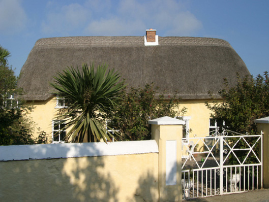 Ballygarra Housefarm house · 214 yd
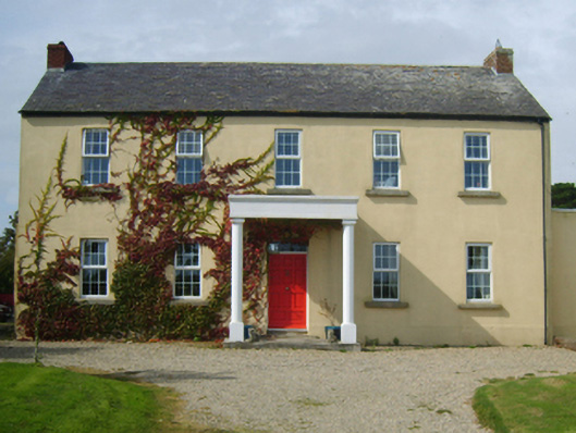 Castlepalliser Housefarm house · 221 yd
 Site of CastleCastle, unclassified · 266 yd
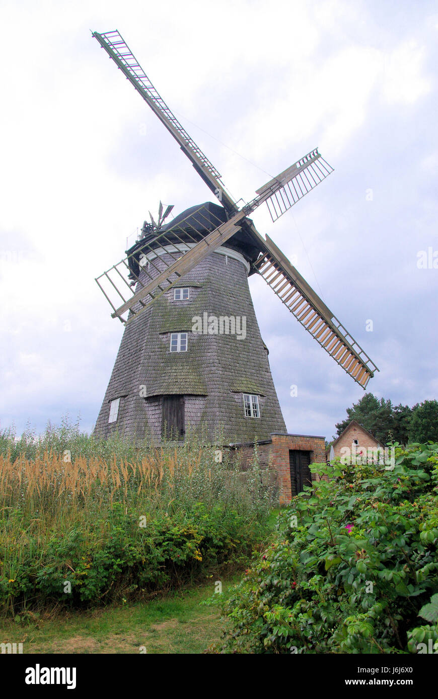 Wind MillWindmill · 650 yd
 Carne BeachBeach / strand · 1072 yd
 Enclosure in BallareEnclosure · 1080 yd
 Lifeboat MemorialMemorial · 1242 yd
 Churchtown Beach / The Sandy GripeBeach / strand · 1435 yd
 Shernock Hill/Knocks HillMountain / peak · 1659 yd
 TowerBawn · 1722 yd
 Lady's IslandVisitor information · 1.0 mi
 ScargeenIsland · 1.1 mi