What is recorded here
Indicated is a graveyard in County Kilkenny where continuous burial has lifted the ground south of its thirteenth-century church into a visible mound of forgotten lives. Cromwellian forces destroyed the church shortly after its 1646 restoration, yet people kept returning to bury their dead beside the ruins until headstones filled the sub-rectangular patch. The wall, gate and raised earth still mark that stubborn human habit of remembering through repetition.
In flat terrain in generally undulating terrain. Steam downslope c. 50m to the N. A public road runs outside the N and E side of the graveyard and a laneway runs along the western boundary. A roughly sub-rectangular graveyard (dims. 46m NW-SE; 60m NE-SW) with a 13th-century church (KK001-005001-) located in the NE angle. The ground S of the church is significantly raised as a result of continuous burials over many centuries. The graveyard boundary is formed by a wall to the N, E and S and by a hedge on the W side. There is an entrance gate in the E wall and a stile at the S end of the E wall. A 17th-century plaque (KK001-005003-) commemorates the restoration of the church in 1646, though it appears to have been destroyed four years later by Cromwellian forces. The church was extensively reconstructed by FÁS between 1984-7. In 2005-06 the boundary wall of the graveyard was rebuilt and repaired and landscaping work around the church was carried out. The majority of the headstones within the church and in the graveyard date to the 18th century. The most recent headstone bears the date 2013.
Compiled by: Jean Farrelly
Date of upload: 8 June 2016
The monument record does not grant public access. Check the route and ask the landowner before entering private land.
- What survives
- Recorded monument
Places near here
 Rosconnell Church (in ruins)Church · 18 yd
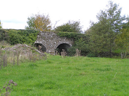 Rosconnell Bridgebridge · 103 yd
 (Site of) CastleCastle, unclassified · 487 yd
 Ladys WellHoly well · 1149 yd
 IndicatedFairy fort / earthen ringfort · 1613 yd
 Bawn in FermoyleBawn · 1.3 mi
 1798 MonumentMemorial · 1.8 mi
 Common LimeCommon Lime · 2.1 mi
 Anker's IslandIsland · 2.9 mi
 Graveyard in SraleaghGraveyard · 3.3 mi
 Pedunculate OakPedunculate Oak · 3.4 mi
 Donaghmore WellSpring · 4.8 mi