
What is recorded here
On brow of gentle SE-facing slope in pasture, marshland and stream to SE. A raised circular area (diam. 45.6m NE-SW) enclosed by an earth and stone bank (ext. H 1.65m, Wth 4m) and traces of a shallow external fosse (Wth 1.4m) are visible from S-W. The interior slopes gently from N-S. The bank, which is heavily overgrown with hawthorn and brambles, has been broken though at the NE and ESE. There is a possible entrance (Wth 2m) in the W sector.
Compiled by: Jean Farrelly
Date of upload: 25 April 2017
The monument record does not grant public access. Check the route and ask the landowner before entering private land.
- What survives
- Recorded monument
Places near here
 Saint Mary's Catholic Churchchurch/chapel · 707 yd
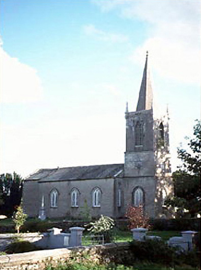 Saint Brigid's Church (Attanagh)church/chapel · 1349 yd
 Enclosure in Nicholastown (kilkea and Moone By.)Enclosure · 1450 yd
 (Site of) CastleCastle, unclassified · 1.1 mi
 St. Finans WellHoly well · 1.3 mi
 Bawn in FermoyleBawn · 1.8 mi
 Anker's IslandIsland · 2.1 mi
 Graveyard in SraleaghGraveyard · 2.4 mi
 1798 MonumentMemorial · 2.7 mi
 Common LimeCommon Lime · 2.9 mi
 Donaghmore WellSpring · 3.9 mi
 Pedunculate OakPedunculate Oak · 4.2 mi
Other information
Photo: Credit not shown in the picture search · Rights wording not checked; contact us if this picture should be removed