What is recorded here
Toberatubar is a holy well in Castlehiggins, County Tipperary, Ireland. The 2011 inventory recorded a roughly circular well measuring 2 metres north to south and 1.7 metres east to west at the edge of woodland. It described stone kerbing, earthen bank and walling around the well, with a southern opening. At that inspection, spring bubbles were visible on the east and water flowed south toward a fast stream.
At W-edge of woodland, at base of W-facing slope. Roughly circular area (dims. 2m N-S; 1.7m E-W; D 0.2m) enclosed by stone kerbing (H 0.55m from base of well) N-ENE; earthen bank ENE-ESE; open (Wth 1.25m) to S; collapsed stone wall WSW-WNW and rubble stone wall (H 1.05m from base of well) WNW-N. Air bubbles from natural spring visible at E-side of well. Water flows S through open area and along recently re-cut drain (D 0.08m) flanking E-side of field boundary. Narrow water outlet to W, where enclosing wall has been breached, empties into fast flowing stream flanking W-side of field boundary. Natural rock outcropping to NE provides shelter. Enclosure (TS070-051----) located 440m to ESE.
Compiled by: Jean Farrelly
Date of upload: 26 August 2011
The monument record does not grant public access. Check the route and ask the landowner before entering private land.
- What survives
- Recorded monument
Places near here
 Grove Housebridge · 953 yd
 Cramp's CastleCastle · 971 yd
 Enclosure in CrampscastleEnclosure · 989 yd
 Everardsgrange Ch. (in ruins)Church · 1258 yd
 Sheela-na-gig in FethardSheela-na-gig · 1310 yd
 East GateMemorial · 1457 yd
 Court CastleCastle · 1573 yd
 European YewEuropean Yew · 1652 yd
 Pedunculate OakPedunculate Oak · 1668 yd
 Kilknockan HillMountain / peak · 1.4 mi
 CarrigdotiaMountain / peak · 3.5 mi
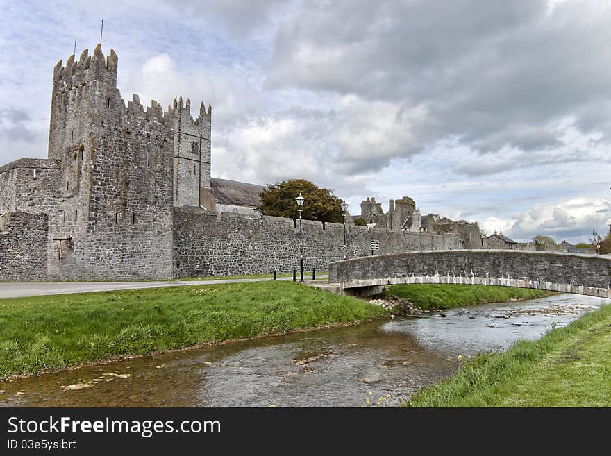 AbbeyHouse, 17th century · 1268 yd
Other information
Photo: Credit not shown in the picture search · Rights wording not checked; contact us if this picture should be removed