
What is recorded here
On a rise of ground sloping gradually to S-SW in undulating pasture, on the N side of the graveyard (TS070-015001-), with a house to the W. Cramp's Castle (TS070-045002-) is visible 640m to the SW. The Papal Taxation of 1291 records (Cashel and Emly Atlas 1970, ix) the Archbishop's Manor of Everard in the Deanery of Fethard, formerly a termon land of a monastery associated with St. Malog (patron of Fethard) (Cahill 1982). The church (overall dims. 13.8m x 6.88m; internal dims. 11.95m x 5.6m; wall T 1m; S wall H 2.65m; N wall H 1.5m rising to 2.4m at the E gable; H gables 5.5-6m), aligned E-W, is built of roughly coursed limestone rubble and is heavily ivy covered. The W end of the N wall is covered by a lot of collapsed rubble. At the SW angle the interior is key-in up to a height of 1.35m but not above this. The entrance towards the W end of the S wall has been modified, none of the original surrounds survive. There is a breach towards the E end of the S wall which would have contained a window and a small aumbry (Wth 0.44m; D 0.35m; H 0.35m; H above int. ground level 0.27m) at the E end of the S wall which was probably the piscina. According to the OS letters (O'Flanagan 1930, vol. 2, 157) the E gable is a central gable with 'a quadrangular doorway of masonwork on it, which was four feet ten inches [1.45m] high by three feet [0.9m] broad originally. It is now somewhat injured', and the 'extext of the choir is not ascertainable'. The description of this doorway is not in keeping with a chancel arch. The doorway is not visible in the E gable where there has been some patching of masonry, and there is a relatively small hole through the wall in this area. Despite the heavy overgrowth of ivy on the E gable, the external southern end does not appear to have any trace of a return for the S wall of a chancel. The N side is obsured by collapsed rubble and piles of wood. At a distance of 3.35m E of the E gable there are the remains of the SE angle (E L 5.5m) of a structure defined by rubble, with a large pile of wood covering most of the structure. Though this structure is interpreted as a chancel in the OS Letters it is more likely to be a burial plot or vault, although it was a ruin in 1840. A sandstone jamb (dims. 0.3m x 0.26m x 0.18m) with a chamfered edge (Wth 0.1m) and internal rebate, is lying at the base of the external face of the W gable. There are 20th-century headstones in the interior, the latest dating to 1989. In the graveyard the headstones are 18th/19th century in date.
Compiled by: Jean Farrelly
Date of upload: 26 August 2011
A local church or high cross; wider significance not recorded.
The monument record does not grant public access. Check the route and ask the landowner before entering private land.
- What survives
- Recorded monument
Places near here
 Enclosure in Saucestown (rathcool Par.)Enclosure · 558 yd
 Brook Hillhouse · 631 yd
 Cramp's CastleCastle · 698 yd
 Enclosure in CrampscastleEnclosure · 714 yd
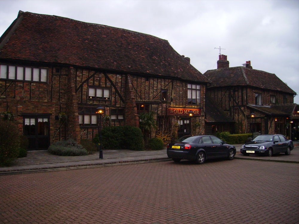 Old Manor Ho. (in ruins)House, 17th century · 721 yd
 Kilknockan HillMountain / peak · 1392 yd
 East GateMemorial · 1752 yd
 Court CastleCastle · 1.1 mi
 European YewEuropean Yew · 1.1 mi
 Pedunculate OakPedunculate Oak · 1.7 mi
 CarrigdotiaMountain / peak · 3.9 mi
 Gobban Saer's GraveArchaeological place · 8.9 mi
Other information
Photo: Credit not shown in the picture search · Rights wording not checked; contact us if this picture should be removed