
What is recorded here
In undulating pasture on top of low rise, enclosing castle (TS070-045002-) to S, W and N. Roughly D-shaped area (dims. 93.8m N-S; 42m E-W) defined by natural scarp (Wth 16m; H 1.8m) to W and N. Levelled short return of possible man-made scarp NE-ENE. Post and wire field fence defines straight side to E. Scarp (Wth 2.4m; H 1.3m) incorporated into field boundary along S-side and external fosse (Wth 4.95m; D 0.3m) define the enclosure SE-S-SW. Large chunks (Wth c. 1.2m) of masonry within fosse may be from castle. According to local information, the settlement within was known as Crampstown and comprised of small random rubble stone built houses, which had collapsed and were covered in briars. Large mound (40m N-S; 13m E-W; H over 2.5m) of earthen and stone material abuts scarp at SE and may be 1970s clearance material of the settlement.
Compiled by: Jean Farrelly
Date of upload: 26 August 2011
The monument record does not grant public access. Check the route and ask the landowner before entering private land.
- What survives
- Recorded monument
Places near here
 Cramp's CastleCastle · 26 yd
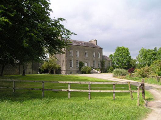 Fethard Rectorycountry house · 529 yd
 Everardsgrange Ch. (in ruins)Church · 715 yd
 Sheela-na-gig in FethardSheela-na-gig · 892 yd
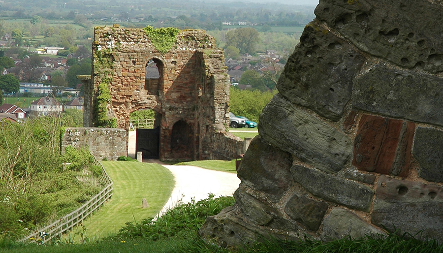 ToberatubarHoly well · 989 yd
 East GateMemorial · 1040 yd
 Court CastleCastle · 1158 yd
 European YewEuropean Yew · 1248 yd
 Kilknockan HillMountain / peak · 1485 yd
 Grove WoodForest · 1.4 mi
 CarrigdotiaMountain / peak · 4.0 mi
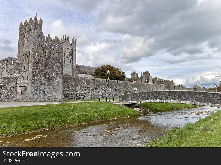 AbbeyHouse, 17th century · 823 yd
Other information
Photo: Credit not shown in the picture search · Rights wording not checked; contact us if this picture should be removed