What is recorded here
Castle, unclassified in St. Margarets, County Wexford, Ireland. No castle is recorded there, but a two-chimney house stood near the church when John Sheevers held the land in 1640. It may have been a residence, a guard post or a forgotten estate office, and its loss leaves a small hole in the story of the parish.
According to the Book of Survey and Distribution (1660s) the whole parish of St. Margaret’s, except the glebe land, amounting to 265 acres was owned by John Sheevers (Cheevers) in 1640. The parish consists of the townlands of Ballyane (Ballare) and Bindstowne (Birdstown), Sumerstowne and Ballyknockane, Ballycullone (St. Margaret’s and Drinagh), and Coussinstowne (Simington 1953, 305). There is no mention of a castle, and one is not depicted on the Down Survey barony map (1656-8), but a house with two chimneys is depicted at Ballyculloone (3) in the vicinity of the church. The precise location of this house is not known. The land of St. Margaret’s parish was granted to Capt. Richard Nunn during the Cromwellian period, and this was confirmed in 1665. He also received extensive lands elsewhere in Co. Wexford (Hore 1921, 48-9) and in Co. Cavan (Jeffrey 1979, 39).
See the attached section from the Down Survey barony map (N at right) reproduced courtesy of the National Library of Ireland (Ms 725).
Compiled by: Michael Moore
Date of upload; 27 March, 2014
John Sheevers (Cheevers) held significant land in the parish of St. Margarets, including 265 acres, by 1640, as recorded in the Book of Survey and Distribution. The area is remembered for its documented land ownership patterns during the post-Cromwellian settlement of Ireland.
The monument record does not grant public access. Check the route and ask the landowner before entering private land.
- What survives
- Recorded monument
Places near here
 Church (in ruins)Church · 145 yd
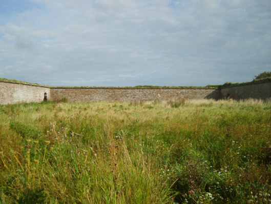 Saint Margaret's Housefarmyard complex · 186 yd
 Not idnicatedEnclosure · 284 yd
 Shernock Hill/Knocks HillMountain / peak · 367 yd
 St. Margarets WellHoly well · 372 yd
 Carne BeachBeach / strand · 959 yd
 Lifeboat MemorialMemorial · 1160 yd
 Site of CastleCastle, unclassified · 1557 yd
 Churchtown Beach / The Sandy GripeBeach / strand · 1627 yd
 The Fairy Stone/RockNamed rock · 1.2 mi
 Lady's IslandVisitor information · 1.2 mi
 TowerBawn · 1.2 mi