What is recorded here
Rahugh Castle keeps its exact position hidden beside Rahugh Church in County Westmeath, denying even the 1655 Down Survey a chance to mark it. Rosse Geoghegan held the land in 1640, suggesting a human hand shaped the missing walls rather than empty fancy. The castle may still stand buried under grass or memory, waiting for someone to stop looking for a pin and start listening for a shape.
The precise location of Rahugh Castle has not been identified. Not marked on the 1655 Down Survey parish map of Rahugh. Described in the terrier as following; ‘In it stands the walls of a castle and a church at Rahugh’ (NLI, MS 723-4) which in 1640 stood on lands belonging to Rosse Geoghegan who is described as an Irish Papist' (ibid.). The castle was probably located in the vicinity of Rahugh Church (WM038-041----).
Compiled by Alison McQueen, Vera Rahilly and Caimin O’Brien.
Date of upload: 18 December 2019
The monument record does not grant public access. Check the route and ask the landowner before entering private land.
- What survives
- Recorded monument
Places near here
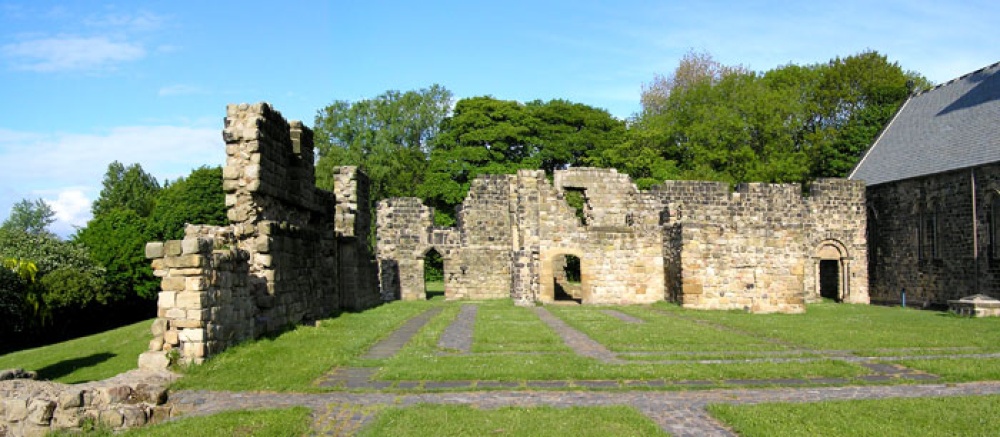 MonasteryChurch · 69 yd
 Lowertown Bridgebridge · 669 yd
 Rahugh MoatCastle, motte and bailey · 997 yd
 Bracklin Castle (ruins)Castle · 1.1 mi
 Church (Site of)Church · 1.2 mi
 Bracklin WoodWood · 1.3 mi
 Bonfire HillMountain / peak · 1.4 mi
 Ardan WoodWood · 1.5 mi
 BarrowBarrow, ring-barrow · 1.5 mi
 St. Columba's WellSpring · 3.3 mi
 Grand Canal WayWalking route · 4.2 mi
 Children's WellSpring · 5.5 mi