What is recorded here
One castle is missing from Loughkent. In 1640 a little stump still stood on the land, but by 1840 two castles were being claimed and neither could be placed. The names changed, the owners disappeared and the stone vanished from every map. What remains is a hole in the local story, large enough to swallow pride and imagination alike.
According to the Civil Survey (1654-6) in 'Upper-Logh Kent' in 1640 there 'is on this lands a little stump of a castle' under the proprietorship of 'Pierce White of Russelstowne Robert Flemming dec[eas]ed without heires Irish Papists' (Simington 1931, vol.1, 233). According to the OS Letters (1840) 'There were two castles at Lough Kent', though none are indicated on the 1st (1840) ed. 6-inch OS map (O'Flanagan 1930, vol. 1, 38 (99)). This castle is unlocated within Loughkent East, Lower and West.
Compiled by: Jean Farrelly
Date of upload: 28 January 2013
Pierce White of Russellstown held the castle site in 1640, following the death of Robert Fleming without heirs. The castle is remembered as a minor defensive structure noted in the Civil Survey, reflecting landownership patterns in early 17th-century Ireland.
The monument record does not grant public access. Check the route and ask the landowner before entering private land.
- What survives
- Recorded monument
Places near here
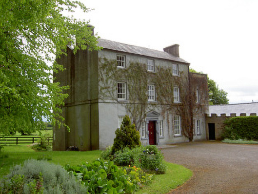 The Gleberectory/glebe/vicarage/curate's house · 666 yd
 Church (in ruins)Church · 670 yd
 Enclosure in Loughkent WestEnclosure · 1138 yd
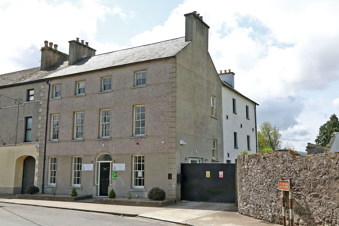 Woodinstown Ho.Castle, tower house · 1.1 mi
 Enclosure in OuteraghEnclosure · 1.2 mi
 Bawn in Carrigeen (knockgraffon Par.)Bawn · 1.5 mi
 Caher AbbeyHeritage attraction · 4.7 mi
 Siege of Cahir Castlesiege · 4.9 miCahir CastleHeritage attraction · 5.0 mi
 Caucasian zelkovaCaucasian zelkova · 5.3 mi
 European YewEuropean Yew · 6.0 mi
 SturrakeenMountain / peak · 8.3 mi