What is recorded here
Castle, unclassified stands on a hill above rolling pastureland in Garranlea, preserving a rectangular bawn, a possible tower house and a larger annexe. In 1640 Thomas Butler of Carrenlea held the castle, bawn and big thatched house, while centuries earlier an artillerist named Cornelius MacShane O'Meagher may have lived at Carnlee. Stone still shows at two angles, and the earthwork remains large enough to suggest rooms, defences and ordinary life within a fortified household.
On top of a hill in gently rolling pastureland sloping gradually to the S. A church (TS068-082----) is located 60m to the NE. According to the Civil Survey (1654-6) there was 'a Castle & Bawne, a bigg thatcht house' in Garranlea in 1640 under the proprietorship of 'Thomas Butler of Carrenlea Esqr. Irish Papist' (Simington 1931, vol. 1, 231). Also in the Ormond deeds (D 2408) there is a reference to an artillerist, Cornelius MacShane O'Meagher of 'Carnlee', possibly Garranlea, who was pardoned in 1560 (Cairns 1985, 110). This consists of a roughly rectangular-shaped earthwork (dims. 42.5m N-S; 33.5m E-W) with mounds of earth at the NE, SE and SW angles, with stone at the latter two angles indicative of collapsed masonry. The earthwork is defined by scarp (H 0.79m above ext., though 1.14m above ext. at SE angle). The earthwork appears to be the remains of a bawn. An external wall face is discernible at the SE angle and possible internal face (L 2m; T 1.5m) which appears to be running NW-SE, perhaps part of a corner turret. A post and wire fence and ditch runs roughly E-W across the N side of the earthwork which continues for a short distance beyond, the N edge of the earthwork running along the avenue of Garranlea House. In the SW angle of the interior there are the foundations of a rectangular building (dims. 11m N-S; 6.5m E-W) which was built against the S and W walls of the bawn. The E length of this building is defined by a low bank (Wth 2m; int. H 0.2m; ext. H to int. of bawn 0.4m) while the N end is defined by a scarp falling towards the interior of the building. There is a dip in the scarp towards the N end of the W side (Wth 4.9m) which may indicate the position of the entrance. There is a rectangular annexe (dims 29.2m N-S; 23.5m E-W) adjoining the W scarp of the castle earthwork. This annexe is defined by a bank (Wth 3m; int. H 0.59m; ext. H 0.55m) which is particularly pronounced at the SW angle (Wth 2.5m crest; 5.5m base; int. H 0.37m; ext. H 1m). As with the castle earthwork there is a reduction in bank height towards the N end of the W side (Wth 3.9m), roughly in line with the possible entrance of the bawn. The annexe continues northward beyond the post and wire fence and ditch for a distance of 4.6m. There are numerous undulations in the field to the S and E of the castle, including a roughly triangular-shaped enclosure (dims 17.5m NW-SE) defined by a bank (Wth 2.8m; int. H 0.2m; ext. H 0.3m) running off the S side of the castle earthwork and a bank which runs S from the S side of the castle earthwork for 29.5m before turning westward. The building in the interior of the bawn may be the remains of a tower house or the thatched house referred to in the Civil Survey.
Compiled by: Jean Farrelly
Date of upload: 26 August 2011
The monument record does not grant public access. Check the route and ask the landowner before entering private land.
- What survives
- Recorded monument
Places near here
 Bawn in GarranleaBawn · 1 yd
 Garranlea Church (in ruins)Church · 79 yd
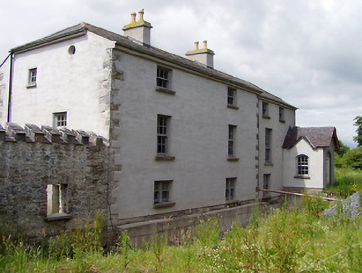 Mill Housemill (water) · 1179 yd
 Ecclesiastical enclosure in MasterstownEcclesiastical enclosure · 1406 yd
 Boytonrath Castle (in ruins)Castle, unclassified · 1.1 mi
 LisheenEnclosure · 1.2 mi
 Athassel PrioryHeritage attraction · 3.2 mi
 Caucasian zelkovaCaucasian zelkova · 4.0 mi
 Cappa WoodWood · 4.7 mi
 Caher AbbeyHeritage attraction · 5.0 mi
 Slieveanard NE TopMountain / peak · 5.2 mi
 SlieveanardMountain / peak · 5.9 mi