
What is recorded here
Castle stands on high ground where three townlands meet, marked only by a survey point and the memory of an old structure. Richard Wilson drew it in 1773, yet no wall or trench remains for a modern hand to touch. The mountain has erased the castle, leaving behind a coordinate and a name.
Situated on high ground in a mountainous area at the intersection of three townland boundaries. Described as an 'Old Castle' and shown located at the intersection of three townlands by Richard Wilson in 'A Survey of Bolyglass and Pallasmore Hill', conducted in 1773 (NLI 21.F.113 (13)). A trigonometrical station is shown at this location on the 1st ed. (1840) OS 6-inch map. No visible remains at ground level.
The above description is derived from 'The Archaeological Inventory of County Tipperary. Vol. 1 - North Tipperary' compiled by Jean Farrelly and Caimin O'Brien (Dublin: Stationery Office, 2002). In certain instances the entries have been revised and updated in the light of recent research.
Date of upload/revision: 22 September 2008
The monument record does not grant public access. Check the route and ask the landowner before entering private land.
- What survives
- Recorded monument
Places near here
 Giant's GraveArchaeological place · 596 yd
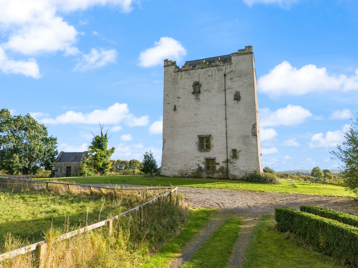 LisdabraherFairy fort / earthen ringfort · 724 yd
 ListeigeFairy fort / earthen ringfort · 771 yd
 Corbally HillMountain / peak · 1688 yd
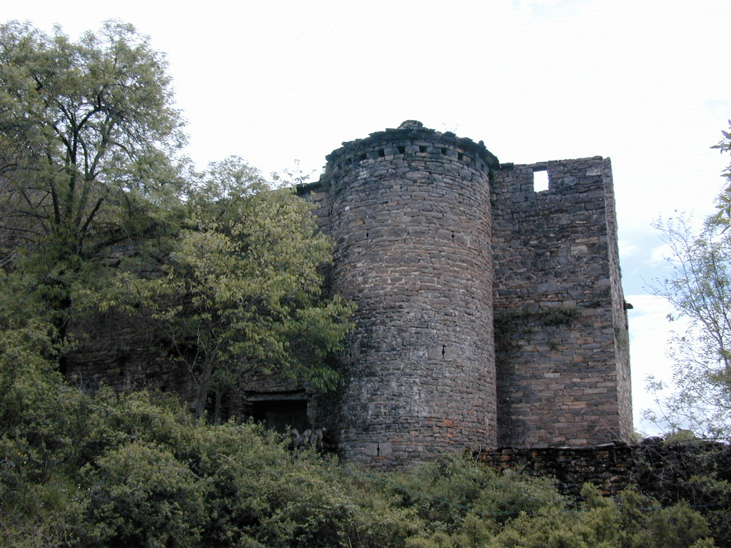 (Site of) Pallas CastleCastle, Anglo-Norman masonry castle · 1.1 mi
 Pallas Church (in Ruins)Church · 1.4 mi
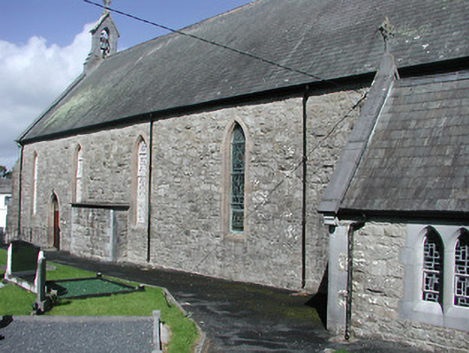 Catholic Church of the Blessed Virgin Marychurch/chapel · 1.5 mi
 Coum HillMountain / peak · 1.6 mi
 Blessed WellNature reserve · 2.3 mi
 Saint Patrick's RockNamed rock · 2.3 mi
 Monroe Castle in ruinsCastle, unclassified · 2.4 mi
 Millenium CrossHeritage attraction · 2.5 mi
Other information
Photo: Credit not shown in the picture search · Rights wording not checked; contact us if this picture should be removed