
What is recorded here
Castle, motte in Franckfort stands as a low elevated platform, twenty-six metres across, defined by a one-metre scarp, a 3.3-metre-wide fosse four metres deep, and an external bank reaching 3.5 metres at its southern edge. A possible ramped entrance faces north, while the esker ridge position offers unbroken views in every direction. Theobald Butler held these lands by 1200 after Prince John granted Dunkerrin in 1185, and a timber castle may have risen here during Anglo-Norman rule in the thirteenth century.
In 1185 Dunkerrin was granted to Theobald Butler by Prince John and by 1200 Theobald appears to have been in possession of these lands (Orpen 1911-20 ii, 102; Gwynn and Gleeson 1962 174-6). Dunkerrin became a manorial town in the Gaelic territory of Éile under Anglo-Norman rule in the thirteenth century. During this time a timber castle may have been built here. On the moat farm in the village of Dunkerrin there is a circular earthwork or ringwork that could have been the outer defences of an Anglo-Norman timber castle.
Situated at the E end of an esker ridge with good views in all directions. Present remains consist of a low elevated platform (diam. 26m) defined by a scarp (H 1m), fosse (Wth 3.3m; D 4m) and external bank (H 1-3.5m) best visible at S only. Possible ramped entrance at N.
Compiled by: Caimin O'Brien.
Date of upload: 23 May 2011
The motte at Franckfort was likely associated with Theobald Butler in the late 12th and early 13th centuries, following his grant of Dunkerrin by Prince John in 1185. It is remembered as part of the expanding Butler influence in the region during the medieval period.
The monument record does not grant public access. Check the route and ask the landowner before entering private land.
- What survives
- Recorded monument
Places near here
 DunkerrinSettlement deserted, medieval · 678 yd
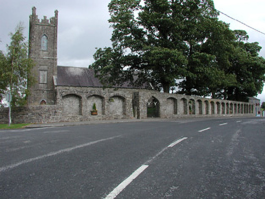 Dunkerrin Churchchurch/chapel · 685 yd
 Grave YardGraveyard · 720 yd
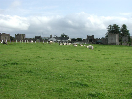 Franckfort Castlecountry house · 775 yd
 Castle (in ruins)Castle, tower house · 1.0 mi
 Dotted lineBawn · 1.1 mi
 Longford WoodForest · 3.1 mi
 BenduffMountain / peak · 3.7 mi
 Coolock WoodForest · 3.7 mi
 Borrisnoe MountainMountain / peak · 4.9 mi
 Roscrea Petty Sessions HouseHeritage attraction · 5.1 mi
 Thomas MacDonagh Heritage CentreMuseum · 6.2 mi
Other information
Photo: Credit not shown in the picture search · Rights wording not checked; contact us if this picture should be removed