
What is recorded here
Castle, motte in Balreagh stands at the ENE end of a narrow ridge, watching the countryside from a steep circular platform twenty-three metres across. The central hollow likely appeared after 1700 when quarrying took the heart of the mound, yet the eastern gap and remaining scarp preserve the shape of a place built to be seen before it was entered.
Situated at ENE end of a long narrow ridge orientated ENE-WSW with commanding views of the surrounding countryside. Steep sided circular shaped platform (diam. 23m; H 2-4m) defined by a poorly preserved bank mainly reduced to a scarp, fosse and low external bank. Possible entrance gap at E. A large hollow in the centre of the interior is probably the result of post-1700 quarrying. Appears to be a low truncated motte but could be the remains of a raised rath.
See attached profile of monument surveyed and drawn by the ASI.
Compiled by: Frank Coyne and Caimin O'Brien
Date of upload: 4 April 2018
Built in the 12th or 13th century, likely by a local Norman lord or Gaelic chieftain, the motte at Balreagh is important as a strategic defensive site offering panoramic views and control over the surrounding landscape, typical of early medieval frontier settlements in the region.
The monument record does not grant public access. Check the route and ask the landowner before entering private land.
- What survives
- Recorded monument
Places near here
 EnclosureEnclosure, large enclosure · 566 yd
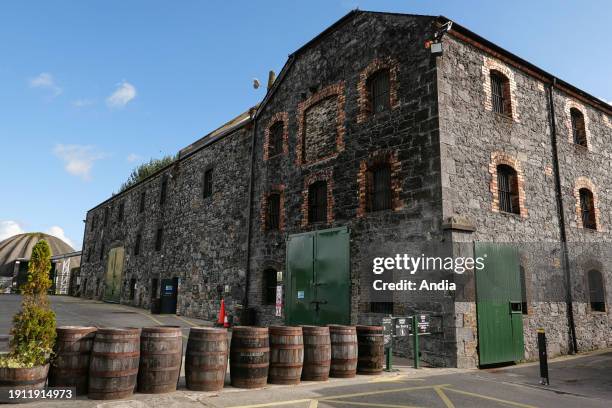 Man-made underground passage in BalreaghMan-made underground passage · 595 yd
 Church in ruinsChurch · 785 yd
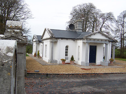 Gigginstown Housegate lodge · 1611 yd
 Site of Fennor CastleCastle, tower house · 1.3 mi
 OutlinedCastle, unclassified · 1.7 mi
 GinkgoGinkgo · 2.9 mi
 KnockeyonMountain / peak · 3.7 mi
 Long PlantingForest · 4.8 mi
 The Chimera GalleryGallery · 6.9 mi
 Seafin HillMountain / peak · 7.5 mi
 Zip WireHeritage attraction · 10 mi
Other information
Photo: Credit not shown in the picture search · Rights wording not checked; contact us if this picture should be removed