What is recorded here
One is tempted to imagine a man standing at the water's edge, watching the lake breathe. He would have known the mound as a living thing, a small hill that could be climbed, defended, and remembered. The water has since been lowered, but the shape remains, holding the memory of a life that moved with the tide of the lake rather than against it.
Adjacent to the S shoreline of Lough Gowna. A steep-sided, rectangular mound of earth and stone (H c. 4-6m). The level summit (28.5m NE-SW; 17.5m NW-SE) is defined by a low bank of earth and stone (Wth 1.5-2m; H 0.2-0.5m). At the base of the mound on the NE, SE and SW sides is a wide, deep external fosse (Wth 6-8m; D 1.4-2.2m). The NW side of the mound was bounded by the waters of the lake before water levels were lowered in the 1960s. At the outer lip of the fosse on the SW side are the remains of a massive bank of earth and stone (Wth 6.5m; H 1.5m). (CUCAP, AJO 50)
Compiled by: Patrick F. O'Donovan
Date of upload: 26 August 2011
The monument record does not grant public access. Check the route and ask the landowner before entering private land.
- What survives
- Recorded monument
Places near here
 Derrycassan WoodsWood · 1007 yd
 Dunclá or Black Pigs RaceArchaeological place · 1096 yd
 Fortification in Inchmore IslandFortification · 1173 yd
 InchmoreIslet · 1425 yd
 Abbey (in Rns)Religious house, Augustinian canons · 1543 yd
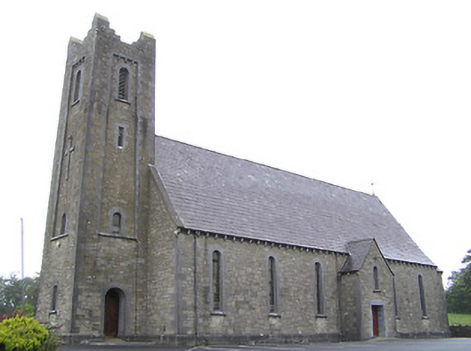 Saint Columba's Catholic Churchchurch/chapel · 1.5 mi
 BawnBawn · 2.5 mi
 Mulrick WoodlandForest · 2.8 mi
 ToomeMountain / peak · 3.0 mi
 Arnaghan SouthMountain / peak · 3.4 mi
 Cloone Ho.Castle, unclassified · 3.4 mi
 Scrabby IslandIslet · 3.5 mi