
What is recorded here
Castle, motte in Athlumney is a grass-covered earthen cone at the edge of a plateau, overlooking the River Boyne a short distance below. Its truncated top and faint fosse mark it as a castle mound rather than a natural hill, while the nearby parish church and tower house suggest a settled place of authority. The mound may have watched traffic on the river, warned the town, or simply given one household a better view than the rest.
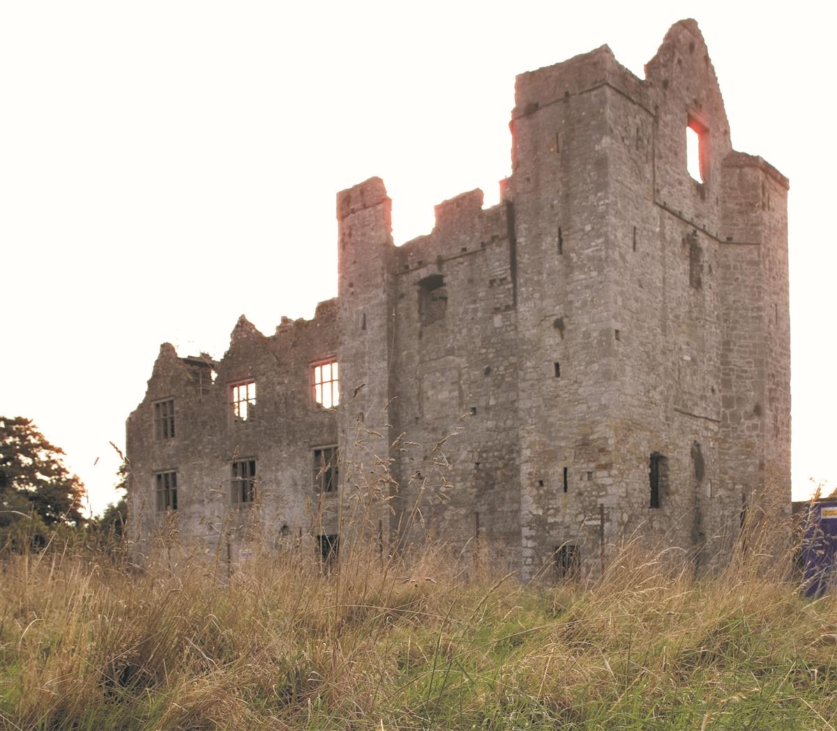
Located at the edge of a plateau overlookng a SE-NW section of the River Boyne c. 50m to the SW and c. 10m lower. Truncated and grass-covered cone of earth (diam. of top 12m; diam. of base 32m; H 4.7m at NW to 5.3m at SE) defined by slight traces of a fosse. The top has been quarried and evidence of a possible bailey was recorded in a trench cut in a 1976 excavation (Kelly 1982-3, 76-80). The parish church of Athlumney (ME025-031----) is c. 90m to the N and Athlumney tower house (ME025-032001-) is c. 140m to the NE. Archaeological testing (02E1178) of c. 1.5ha by E. O’Donovan c. 100m to the SE produced no related material (excavations.ie 2002:1421), but the enclosure (ME025-077----) was outside the tested area.
The above description is derived from the published 'Archaeological Inventory of County Meath' (Dublin: Stationery Office, 1987). In certain instances the entries have been revised and updated in the light of recent research.
Compiled by: Michael Moore
Date of revision: 2 June 2016
The monument record does not grant public access. Check the route and ask the landowner before entering private land.
- What survives
- Recorded monument
Places near here
 unknownunknown · 2 yd
 Church (in Ruins)Church · 120 yd
 Enclosure in AthlumneyEnclosure · 209 yd
 The RampartWood · 590 yd
 CrossCross, Wayside cross (present location) · 648 yd
 Nangle CourtMemorial · 1.3 mi
 Blackcastle DemesneWood · 1.5 mi
 Donaghmore Round TowerHeritage attraction · 1.6 mi
 Carn HillMountain / peak · 2.2 mi
 Rathaldron Ho.Castle, tower house · 2.2 mi
 Dunmoe CastleCastle, unclassified · 2.4 mi
 BohermeenMountain / peak · 4.0 mi
Other information
Photo: Rob Hurson · CC BY-SA 4.0