
What is recorded here
Now on display in the Meath County Library in Navan, This cross once stood beside an old SE-NW road from Navan to Rathaldron Castle (ME025-011----) that fell out of use (Moore 1899). The highly decorated cross shaft (dims 0.24m x 0.19m; H 1.26m) had stood on a plain base (dims 0.74m x 0.7m; H 0.22m) and had been set up in 1588 by Margaret Dexter and her Cusack husband, according to its inscription (Wilde 1850 133-4; Crawford 1920; King 1984, 110). Excavation in 1977 revealed a plinth of two steps made from cut limestone blocks (dims of base 2.5m x 2.5m). The remains of 8 infants and young children were recovered in the vicinity, confirming local traditions of its use as a Childrens Burial Ground (ME025-059----) (Cahill 1987-8). The cross has been described by King as:
A shaft fragment rectangular in section set in an undecorated rectangular base. The shaft has rounded edges, an inscription, floral motifs and an heraldic shield in false relief. 1st: The lower part of a shield with the Cusack (per pale or and azure a fess counterchanged) and Dexter (argent a cross fleury gules between four parrots vert) arms impaled and the letters M.C. M.D. 2nd: An inscription in contracted Gothic Latin. [C]USA / ARMIG / ER I ET / MARGA[R] / RETAE DE / XTER UX / ORIS EJU /S AC HE / REDU EO / RM QUE/ HANC C/RUC FECE / RUT A. . /DNI 1588 / QUORU / ANIMA / BUS P[RO/PICIET] U [R / DEUS]. 3rd: Has a stiff undulate band of eight tulips. 4th: Has a vertebrate band of seven tulips growing from a vase.
The date and patrons of this cross are evident from the inscription: ‘Cusack Knight and Margaret Dexter his wife and their heirs who had this cross made A.D. 1588 on whose souls may God have mercy.’
Compiled by: Michael Moore
Date of upload: 16 April, 2015
The monument record does not grant public access. Check the route and ask the landowner before entering private land.
- What survives
- Recorded monument
Places near here
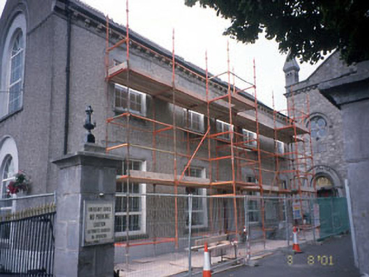 Saint Anne's Loreto Primary Schoolschool · 89 yd
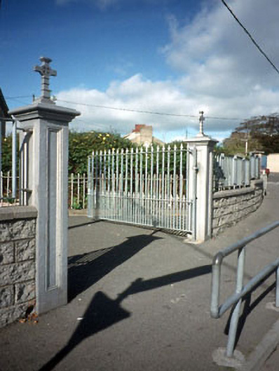 gates/railings/wallsgates/railings/walls · 104 yd
 Town defences in Townparks (navan Lower By.)Town defences · 279 yd
 The RampartWood · 572 yd
 Font in Abbeyland SouthFont · 601 yd
 CastleCastle, motte · 648 yd
 Nangle CourtMemorial · 1.1 mi
 Blackcastle DemesneWood · 1.6 mi
 Donaghmore Round TowerHeritage attraction · 1.7 mi
 Rathaldron Ho.Castle, tower house · 1.9 mi
 Carn HillMountain / peak · 2.5 mi
 BohermeenMountain / peak · 3.6 mi
Other information
Photo: Credit not shown in the picture search · Rights wording not checked; contact us if this picture should be removed