
What is recorded here
Church in Athlumney has a graveslab with a skull, crossbones and a carved goat. The skull delivers the solemn warning; the goat looks like it’s waiting to hear whether anyone’s keeping the grass.
Situated on level ground with the top of a SW-facing slope overlooking a SSE-NNW section of the River Boyne c. 100m to the SW, and with the river c. 50m further to the SW. A church at Athlumpny is listed in the ecclesiastical taxation (1302-06) of Pope Nicholas IV (Cal. doc. Ire, 6, 355). According to Ussher’s Visitation (1622) the church and chancel were ruinous (Erlington 1864, 1, lxxvii), and according to Dopping’s Visitation (1682-5) the church was out of repair since 1641 and the graveyard was not fenced (Ellison 1972, 6). The parish church of Athlumney is within a D-shaped graveyard (max. dims c. 63m NW-SE; c. 50m NE-SW) that is curtailed by a WNW-ESE road on the N side. This is an undivided nave and chancel (int. dims 20.9m E-W; 5.75m N-S) structure, but most of the S wall is removed and the other walls are featureless. A rectangular tower (ext. dims 8m N-S; 3.2m E-W) with double-splayed lights in the S, W and N walls is attached to the W end of the nave and entered from the nave by a lintelled doorway. Its floors were wooden and it survives partly to the first floor, with an ivy covered double belfry on its W wall. Another structure, reduced to the foundations (ext. dims 4.3m E-W; 2.8m N-S) is attached to the E end of the N wall. Around 1749 Issac Butler recorded the Latin inscription on the graveslab of William Gough and his mother Ann Cheevers, dated 1692 (1892, 24). It is also described by FitzGerald (1909-10). A rectangular limestone graveslab (dims 2.05m x 1.09m; T 0.12m) in the nave has a raised heater-shaped shield at the centre that is divided by a line of chevrons. At least one goat taken from the Cheevers crest can be distinguished below the chevrons and the items above it could be boars’ heads from the Gough crest. There is a skull and cross-bones at the foot, but no inscription is discernible. Cogan (1862-70, 2, 238-9) describes a broken font as ‘octagonal and unornamented, and measured in diameter about one foot eight inches (c. 0.45m). The pedestal (base) is a circular stone two feet one inch in diameter (c. 0.64m), the aperture of which measures in diameter eight inches (c. 0.2m).’ This is no longer present. Athlumney motte (ME025-033----) is c. 90m to the S and Athlumney tower house (ME024-32001-) is c. 85m to the E. Navan town is across the river c. 500m to the NW.
Situated on level ground with the top of a SW-facing slope overlooking a SSE-NNW section of the River Boyne c. 100m to the SW, and with the river c. 50m further to the SW. A church at Athlumpny is listed in the ecclesiastical taxation (1302-06) of Pope Nicholas IV (Cal. doc. Ire, 6, 355). According to Ussher’s Visitation (1622) the church and chancel were ruinous (Erlington 1864, 1, lxxvii), and according to…
From the National Monuments Service (Archaeological Survey of Ireland) record ME025-031
The monument record does not grant public access. Check the route and ask the landowner before entering private land.
- What survives
- Recorded monument
Places near here
Photo credits
- Rob Hurson, Wikimedia Commons · CC BY-SA 4.0
- National Inventory of Architectural Heritage
- 瑞丽江的河水, Wikimedia Commons · CC BY-SA 4.0
- Aubrey Martin, Wikimedia Commons · CC BY-SA 4.0
- Albert Bridge, Geograph · CC BY-SA 2.0
- Sitomon, Wikimedia Commons · CC BY-SA 2.0
- Malene Thyssen, Wikimedia Commons · CC BY-SA 3.0
- Patrick Brown, Wikimedia Commons · CC BY-SA 2.0
- Anthony Foster, Geograph · CC BY-SA 2.0
- Anthony Foster, Wikimedia Commons · CC BY-SA 2.0
 church/chapel1 yd
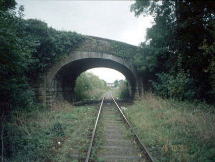 Athlumney BridgeBridge · 64 yd
 Athlumney CastleCastle, tower house · 110 yd
 CastleCastle, motte · 120 ydNangle CourtMemorial · 1.3 mi
 Donaghmore Round TowerHeritage attraction · 1.5 mi
 Round Tower1.5 mi
 European Yew2.8 mi
 European Beech3.7 mi
 Hill of TaraVisitor information · 5.4 mi
 Saint Patrick'sMemorial · 5.5 mi
 Dumha na nGiallArchaeological place · 5.6 mi
More historic places in County Meath · All of County Meath
What do you know about this place?