What is recorded here
Fairy fort / earthen ringfort in Cassestown is a fairy fort or earthen ringfort in Cassestown, County Tipperary, Ireland. It occupies a gradual southeast-facing slope in rough meadow, where a low bank defines a roughly circular area measuring 32.8 metres north-south and 29 metres east-west. The bank is truncated and flattened, with no visible structure at the southeast side, which may mark the original entrance on the downslope aspect. The interior slopes toward the southeast and remains disturbed, while the area immediately to the northwest is now used as a yard for old machinery.
Located on a gradual SE-facing slope in rough meadow. A field boundary to the NW has been removed and the area (immediately NW of the ringfort) is used as a yard for old machinery. A roughly circular area (diam. 32.8m N-S; 29m E-W) defined by a low bank (Wth c. 2.2m; int. H 0.4m; ext. H 1.53m) which has been truncated and flattened. There is no bank at SE which may be the site of original entrance on the downslope side of the site and there is no visible evidence of an outer fosse. The interior, which slopes to the SE, is quite disturbed.
The above description is derived from 'The Archaeological Inventory of County Tipperary. Vol. 1 - North Tipperary' compiled by Jean Farrelly and Caimin O'Brien (Dublin: Stationery Office, 2002). In certain instances the entries have been revised and updated in the light of recent research.
Date of upload/revision: 22 September 2008
This remains an important historical record, but the official description says the monument is no longer visible or has been destroyed. The monument record does not grant public access. Check the route and ask the landowner before entering private land.
- What survives
- No visible remains or recorded as destroyed
Places near here
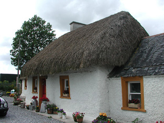 The Cottagehouse · 280 yd
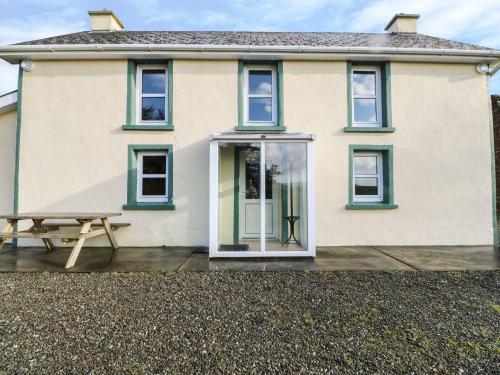 Enclosure in Tooreen (thurles Par.)Enclosure · 1119 yd
 Enclosure in RathcriddogeEnclosure · 1597 yd
 Site of CastleCastle, unclassified · 1.1 mi
 Rahelty CastleCastle · 1.2 mi
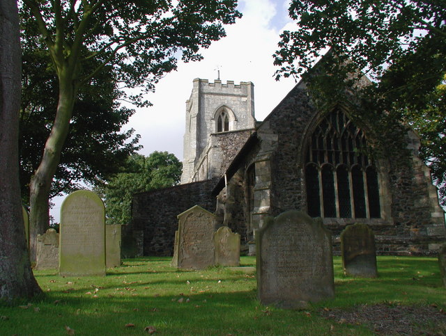 Rahelty Church (in Ruins), Grave YardChurch · 1.3 mi
 St. Mary's Famine and War MuseumMuseum · 1.7 mi
 Famine & War MuseumMuseum · 1.8 mi
 European ashEuropean ash · 1.9 mi
 WoodlandWood · 2.4 mi
 Killough Hill (site of)Mountain / peak · 6.6 mi
 Pallas HillMountain / peak · 7.3 mi