What is recorded here
Standing stone in Cartronbore is a small sandstone slab in County Longford, Ireland, not a distant myth but a visible marker within living pasture. It stands 1.14 metres tall, one metre wide and 0.33 metre thick, aligned northwest to southeast inside a slight hollow. Cartronbore gives the stone its place, while the stone gives Cartronbore a point of memory. People may have passed it, pointed at it, or left it alone, but its shape and setting remain clear enough to imagine without inventing.
Within a slight hollow in low-lying pasture. This small, sandstone slab (H 1.14m; Wth 1m; T 0.33m) is aligned NW-SE. (ITA Survey 1944)
Compiled by: Patrick F. O'Donovan
Date of upload: 1 March 2012
The monument record does not grant public access. Check the route and ask the landowner before entering private land.
- What survives
- Recorded monument
Places near here
 Dunclá or Black Pigs RaceArchaeological place · 723 yd
 Enclosure in CarraghEnclosure · 916 yd
 Creevy Househouse · 1369 yd
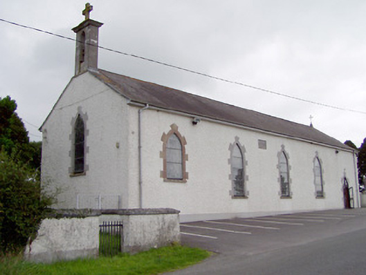 Saint Mary's Catholic Churchchurch/chapel · 1471 yd
 Bakers FortCastle, ringwork · 1.6 mi
 CartronfreeMountain / peak · 1.7 mi
 1798 Monumentmonument · 1.8 mi
 Granard MotteMotte-and-bailey castle remains · 1.9 mi
 CastleCastle, unclassified · 1.9 mi
 CarrickabaneMountain / peak · 2.4 mi
 Moynagh Upper ForestForest · 3.0 mi
 Carrick RockWood · 3.2 mi