What is recorded here
Half a circle of earth and stone still stands on the drumlin in Cartronamarkey, though a field boundary and disused farm buildings have cut through the ancient ring. The remaining bank is low and worn, yet it marks a place where people lived before the land was divided for modern use. What is missing has not stopped the circle from speaking; it has only made the shape easier to overlook.
On top of a drumlin in pasture. A raised circular area (diam. c. 22m) enclosed from NW-N-NNE by a wide, low bank of earth and stone (Wth 6m; H 0.2-0.5m). From NE-ENE-E and from SW-W-WNW the defining element is a scarp (H 0.5-0.85m). The monument is divided into unequal portions by a modern, NE-SW field boundary. The much-smaller portion, to the SE, is occupied by modern, although now-disused, farm buildings and a farmyard. There is no trace of a fosse and the original entrance is not recognisable. The rath was partially levelled in the 1940s (local information).
Compiled by: Patrick F. O'Donovan
Date of upload: 28 November 2011
A fairy fort / earthen ringfort in Cartronamarkey is a circular earthwork likely dating to the early medieval period, characterized by a low bank and surrounding scarp. Local tradition associates such sites with fairy folklore, and they were often regarded as the dwellings of supernatural beings or as places of ancient ritual significance.
This remains an important historical record, but the official description says the monument is no longer visible or has been destroyed. The monument record does not grant public access. Check the route and ask the landowner before entering private land.
- What survives
- No visible remains or recorded as destroyed
Places near here
 BawnBawn · 1.0 mi
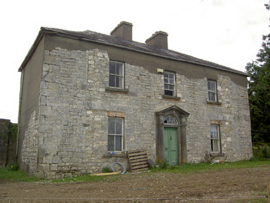 Ballinlough Househouse · 1.0 mi
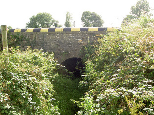 bridgebridge · 1.0 mi
 Enclosure in RathbrackanEnclosure · 1.2 mi
 Columbkilles StoneRitual site, holy/saint's stone · 1.5 mi
 InchmoreIslet · 1.6 mi
 Cloonfin WoodForest · 1.8 mi
 Derrycassan WoodsWood · 2.2 mi
 Clonfin Ambush MemorialMemorial · 2.8 mi
 Granard MotteMotte-and-bailey castle remains · 3.5 mi
 CastleCastle, unclassified · 3.5 mi
 1798 Monumentmonument · 3.5 mi