What is recorded here
Indicated is a circular earthen fort thirty metres across at the east end of a Mayo ridge, where bog stretches six hundred metres toward the River Moy. Its steep scarped bank rises two and a half metres on the south-east, enclosing a level interior that may have been a home, a refuge or a marker before the derelict farmstead appeared beside it. The surrounding pasture, reclaimed bog and passing road have changed little in their relationship to the ring, leaving the fort both exposed and forgotten.
In pasture, located at E end of an E–W spine of elevated ground, surrounded to N, E and S by tracts of bog intermixed with reclaimed grassland. To E, the lowlying bog stretches for c.600m to the River Moy. A derelict farmstead lies immediately to SE. A road skirts the rath at SW–NE.
Raised circular area or platform (30m N–S; 31m E–W) defined by a substantial scarp (H 1.5m at SW, 2.6m at SE). At SW–NW the scarp is topped by a slightly raised earthen rim, suggesting an original bank of width c. 3-3.5m. A field fence merges with the scarp on its NW arc. At E the external slope of the scarp has been cut away slightly, and at SE–S it has been cut to the vertical and faced with drystone walling; these modifications are relatively recent in date, probably relating to the period of habitation of the adjacent farmstead.
The interior is level. At the S there is a ramp-like slope in the scarp, which appears to have been either created or modified relatively recently, but may mark the site of an original entrance.
A heap of field clearance debris is piled against the SW side of the rath.
Compiled by: Jane O’Shaughnessy
Date of upload: 12 June 2020
The monument record does not grant public access. Check the route and ask the landowner before entering private land.
- What survives
- Recorded monument
Places near here
 IndicatedEnclosure · 1321 yd
 LisnahuaighFairy fort / stone ringfort · 1.2 mi
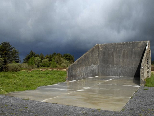 handball alleyhandball alley · 1.4 mi
 Killasser Church (in ruins)Church · 2.3 mi
 Castle (in Ruins)Castle, tower house · 2.5 mi
 HawthornHawthorn · 2.6 mi
 Hennigan's Heritage CentreHeritage attraction · 3.8 mi
 Procession Of The SoulsMemorial · 4.1 mi
 Youth Memorial GardenMemorial · 4.4 mi
 Brabazon WoodsForest · 4.4 mi
 Castle Carragh in RuinsCastle, unclassified · 5.2 mi
 KnockasliggaunMountain / peak · 6.3 mi