What is recorded here
Indicated is a circular fairy fort on an east-west ridge in County Mayo, offering unbroken views across the pasture. Its sod-covered stone wall rises one metre above a steep scarp, enclosing a level space marked by faint cultivation ridges and a blocked eastern entrance. Local memory suggests an underground passage beneath the southwest quadrant, hinting that the ring may hide more than it shows.
In pasture, located on an E–W ridge, with very good views in all directions.
Raised circular area (26.3m E–W; 25.7m N–S) defined by a scarp with a drop of c. 1.5-1.8m to exterior ground level. The scarp is topped by a low, earth and stone bank/ wall (Wth 2m; int. H 0.6m; ext. H 1m), which largely sod-covered; internal stone facing is visible in parts. According to the local information, this wall was built or refaced in the first half of the 20th century.
The original entrance, now blocked up, is at E, where the enclosing scarp is lowest and faces the naturally sloping spine of the ridge. Relict cultivation ridges, on a N–S axis, are visible in the level interior. According to local information, there is a Man-made underground passage (MA050-012002) in the SW quadrant of the interior.
Compiled by: Jane O’Shaughnessy
Date of upload: 12 June 2020
The monument record does not grant public access. Check the route and ask the landowner before entering private land.
- What survives
- Recorded monument
Places near here
 IndicatedEnclosure · 559 yd
 LisnahuaighFairy fort / stone ringfort · 1347 yd
 Killasser Church (in ruins)Church · 1.8 mi
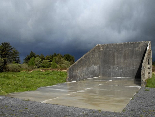 handball alleyhandball alley · 1.8 mi
 Castle (in Ruins)Castle, tower house · 2.2 mi
 HawthornHawthorn · 2.3 mi
 Hennigan's Heritage CentreHeritage attraction · 3.3 mi
 Procession Of The SoulsMemorial · 4.0 mi
 Youth Memorial GardenMemorial · 4.2 mi
 Brabazon WoodsForest · 4.4 mi
 Castle Carragh in RuinsCastle, unclassified · 5.3 mi
 KnockasliggaunMountain / peak · 6.0 mi