What is recorded here
Indicated is a fairy fort in County Mayo, Ireland, where the earth still holds the shape of a ring. People may have lived inside its banks before forgetting the name, or perhaps the fort refused to be known and hid itself from history. Either way, the soil remembers the weight of footsteps and the dark of nights spent within its circle.
The Archaeological Survey of Ireland (ASI) is in the process of providing information on all monuments on The Historic Environment Viewer (HEV). Currently the information for this record has not been uploaded. To access available information for research purposes please make an appointment in advance with the Archive Unit (open Fridays 10.00 am – 5.00 pm), Department of Housing, Local Government and Heritage, The Custom House, Dublin 1 D01W6XO or email NMarchive@housing.gov.ie.
The monument record does not grant public access. Check the route and ask the landowner before entering private land.
- What survives
- Recorded monument
Places near here
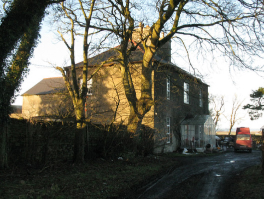 Ballycastle Housefarm house · 677 yd
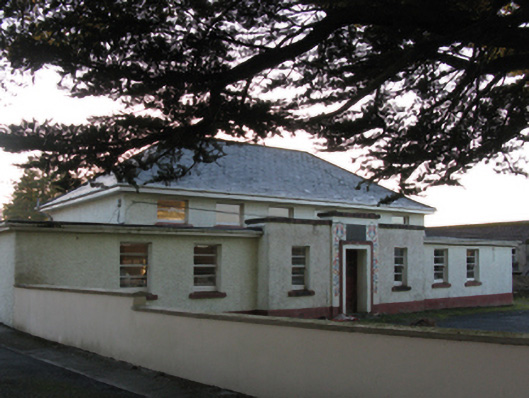 Saint Brigid's National Schoolschool · 989 yd
 Enclosure in Carrowmore (tirawley By., Kilbride Par.)Enclosure · 1.1 mi
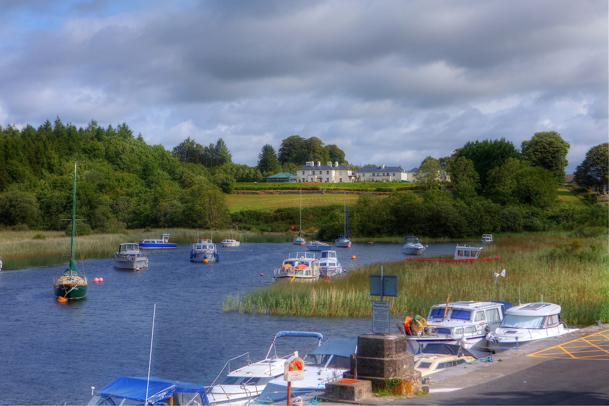 LisbrinFairy fort / earthen ringfort · 1.1 mi
 Ballycastle BeachBeach / strand · 1.6 mi
 Castle (in Ruins)Castle, tower house · 1.7 mi
 Lisheen Grave YardArchaeological place · 2.0 mi
 PollatarriveCliff · 3.2 mi
 WW2 Éire MarkerHeritage attraction · 3.4 mi
 Downpatrick HeadHeadland · 3.5 mi
 Bawn in CarrickanassBawn · 3.7 mi
 BlowholeCliff · 3.7 mi