What is recorded here
In wet pasture, on the E of a stream which flows N along the W side of a flat-bottomed valley. One of several fulachtaí fia and burnt mounds which occur over a distance of 1.5km along the base of the valley. When first recorded this appeared as a low rise (c. 8m NNE-SSW; c. 5m ESE-WNW) with angular stone fragments in black soil exposed along the W edge (OPW 1994). It was covered with sod and rushes and its full extent was not determined. As a consequence of land reclamation works in 1995 it was largely obscured by deposits of soil. There is a burnt mound (SL019-245----) c. 8m to NNE, and a burnt mound (SL019-247----) is c. 6m to S.
Compiled by: Jane O'Shaughnessy
Date of upload: 12 May 2011
Burnt mound in Carrowgilpatrick is a fulacht fia, dating to the Early to Middle Bronze Age. It is part of a cluster of similar features, indicating sustained prehistoric activity in the valley for cooking or processing purposes.
The monument record does not grant public access. Check the route and ask the landowner before entering private land.
- What survives
- Recorded monument
Places near here
 Enclosure in CloonakeemogeEnclosure · 632 yd
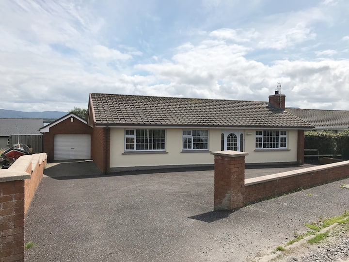 Hut site in BunnafediaHut site · 697 yd
 Giant's GraveArchaeological place · 781 yd
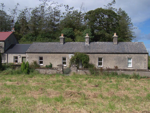 The Swallow Loftchurch/chapel · 1127 yd
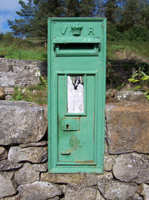 post boxpost box · 1158 yd
 Bawn in Longford DemesneBawn · 1710 yd
 European ashEuropean ash · 1.1 mi
 Pigeonpark WoodForest · 1.2 mi
 CastleCastle, ringwork · 1.3 mi
 Lahanacappul IslandIslet · 1.4 mi
 Ballinlig PointHeadland · 1.6 mi
 Portavaud PointHeadland · 1.8 mi