What is recorded here
In wet pasture, on the E bank of a small bend in stream which flows N along the W side of a flat-bottomed valley. One of several fulachtaí fia and burnt mounds which occur over a distance of 1.5km along the base of the valley. Poorly-defined, low rise (c. 13m NE-SW; c. 7m NW-SE; H 0.4m at SW) of firm ground covered with mossy vegetation. Angular stone fragments in black soil was exposed at the SW edge but the full extent of the mound was not determined. There is a fulacht fia (SL019-238----) c. 30m to NE, a burnt mound (SL019-241----) and a possible fulacht fia (SL019-042----) are c. 30m to W, and a burnt mound (SL019-243----) c. 25m to S.
Compiled by: Jane O'Shaughnessy
Date of upload: 12 May 2011
Burnt mound in Carrowgilpatrick is a fulacht fia, typically dating to the Early to Middle Bronze Age. These features were likely used for cooking or processing food and are significant as common domestic or ritual sites in ancient Irish landscapes.
The monument record does not grant public access. Check the route and ask the landowner before entering private land.
- What survives
- Recorded monument
Places near here
 Giant's GraveArchaeological place · 669 yd
 Enclosure in CloonakeemogeEnclosure · 702 yd
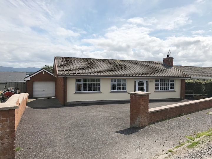 Hut site in BunnafediaHut site · 745 yd
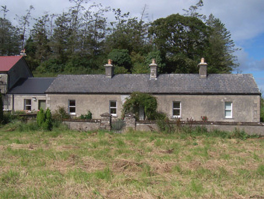 The Swallow Loftchurch/chapel · 1238 yd
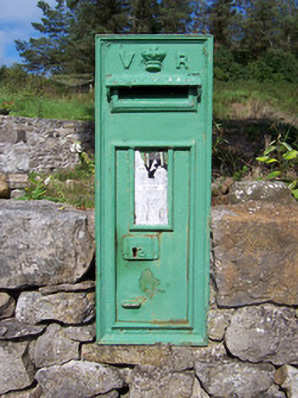 post boxpost box · 1270 yd
 Bawn in Longford DemesneBawn · 1.0 mi
 European ashEuropean ash · 1.2 mi
 CastleCastle, ringwork · 1.3 mi
 Pigeonpark WoodForest · 1.3 mi
 Lahanacappul IslandIslet · 1.4 mi
 Ballinlig PointHeadland · 1.6 mi
 Portavaud PointHeadland · 1.7 mi