What is recorded here
In pasture, situated on top of a N–S ridge, close to the break of slope on the SE side. There is a gentle fall of ground towards a stream c. 50m to E, and a steeper fall of ground at S. Raised circular area (20m N–S; 22.4m E–W) enclosed by a bank (Wth 3.9m; int. H 0.3m; ext. H 1.5-1.8m, at N) of earth and stone. Stones protruding from the external face of the bank may be remnants of stone facing. The interior slopes down from N to S. There is a shallow depression in the S half. There is a possible entrance through the bank at NW. A possible enclosure (SL012-043002-) is located immediately to W.
Compiled by: Jane O’Shaughnessy
Date of upload: 3 May 2013
The monument record does not grant public access. Check the route and ask the landowner before entering private land.
- What survives
- Recorded monument
Places near here
 IndicatedFairy fort / earthen ringfort · 479 yd
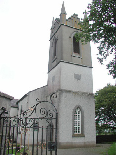 Saint Mary's Church (Kilmacshalgan)church/chapel · 789 yd
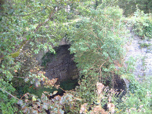 Ballygilcash Bridgebridge · 867 yd
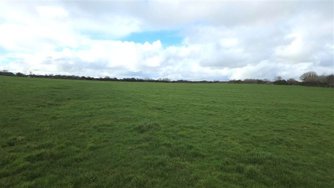 Man-made underground passage in BallyeeskeenMan-made underground passage · 1270 yd
 Site of Dunneill CastleCastle, unclassified · 1495 yd
 DonaghHeadland · 1.1 mi
 CastleCastle, tower house · 1.6 mi
 Split RockNamed rock · 3.4 mi
 Aughris BeachBeach / strand · 4.2 mi
 Jim Smith MemorialMemorial · 4.6 mi
 Dunmoran StrandBeach / strand · 5.0 mi
 Wild Atlantic Way: Easky PierVisitor information · 5.1 mi