What is recorded here
Killeen is a children's burial ground in Carrow (donohill Par.), County Tipperary, Ireland. The site occupies an east-facing slope of rising ground in an upland undulating region with good views in all directions. A dashed line on the six-inch map delineates a roughly oval area measuring about 25 metres north-south and 40 metres northeast-southwest, although no surface remains of any monument are visible in that area today. Several large flagstones scattered in the field to the north of the hill may be the remains of the heap of stones possibly referenced in the Civil Survey.
On a E-facing slope of rising ground in upland undulating region with good views in all directions. No surface remains visible of any monument in area marked on latest ed. OS 6-inch map. Indicated on the OS 6-inch map as a 'Killeen' with a dashed line delineating a roughly oval area (c. 25m N-S; c. 40m NE-SW). Possibly referred to in the Civil Survey where there is a reference to “ye heape of stones called Laghtnegarough” (Simington 1934, vol. 2, 84). There are several large flagstones scattered in the field to the N of the hill which may be the remains of the aforementioned heap of stones.
Compiled by: Jean Farrelly
Date of upload: 26 August 2011
The monument record does not grant public access. Check the route and ask the landowner before entering private land.
- What survives
- Recorded monument
Places near here
 KilleenArchaeological place · 23 yd
 Liscaun (Site of)Enclosure · 566 yd
 Gortard WoodForest · 1583 yd
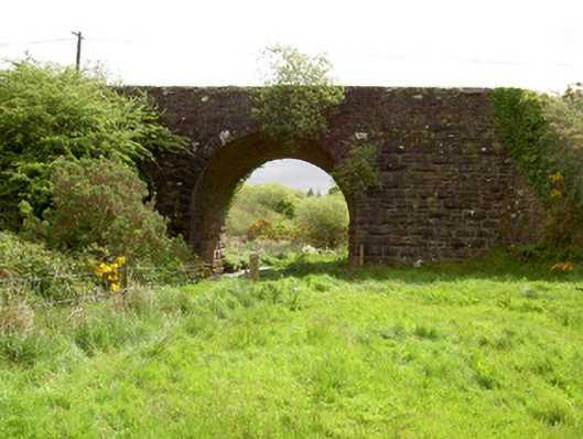 Scarrough Bridgebridge · 1.3 mi
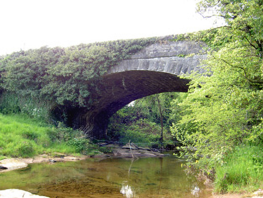 Carrow Bridgebridge · 1.5 mi
 Dundrum Woods (Marl Bog)Forest · 2.3 mi
 Ballysheeda Castle (in Ruins)Castle, tower house · 2.3 mi
 CastleCastle, unclassified · 2.6 mi
 Ring HillMountain / peak · 3.7 mi
 LackenacreenaMountain / peak · 3.7 mi
 Soloheadbeg Ambushambush · 6.2 mi
 IndicatedEnclosure, large enclosure · 1.0 mi