What is recorded here
Situated on a SE-facing slope in rocky terrain. Circular arc of two courses of stones (diam. c. 8m) representing about one quarter of a possible hut site. The site was excavated in 1979 (NMI files) and produced sherds of 19th- and twentieth-century pottery and a fragment of iron. Since this monument was visited in 1990 this area has been planted with forestry.
The above description is derived from the published 'Archaeological Inventory of County Wicklow' (Dublin: Stationery Office, 1997). In certain instances the entries have been revised and updated in the light of recent research.
Date of upload/revision: 17 December 2008
The monument record does not grant public access. Check the route and ask the landowner before entering private land.
- What survives
- Recorded monument
Places near here
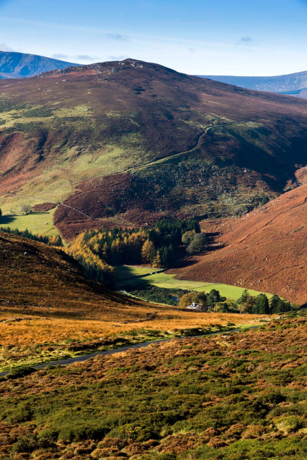 Ballycurragh HillMountain / peak · 1.4 mi
 Enclosure in Kilcarney LowerEnclosure · 1.6 mi
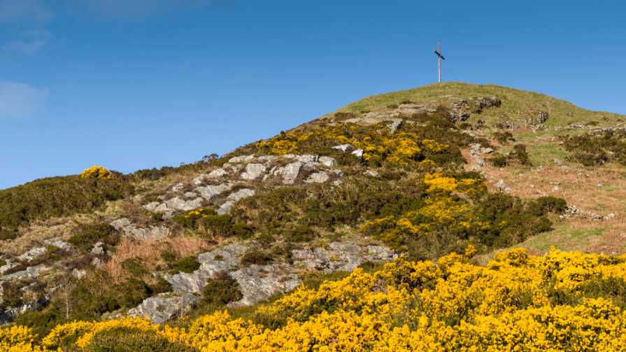 IndicatedEnclosure · 1.7 mi
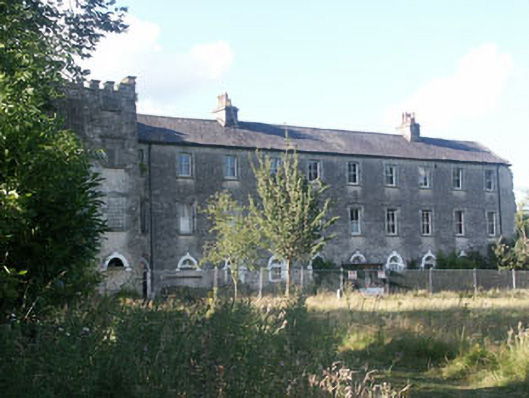 Aghavannagh Barrackbarracks · 1.7 mi
 The Stripped FlagsNamed rock · 2.4 mi
 Saint John's Church (Moyne)church/chapel · 2.4 mi
 Ballinagappoge MountainMountain / peak · 2.9 mi
 (Site of) Castle LaurenceCastle, unclassified · 3.2 mi
 Drumgoff Forest Recreation AreaForest · 3.6 mi
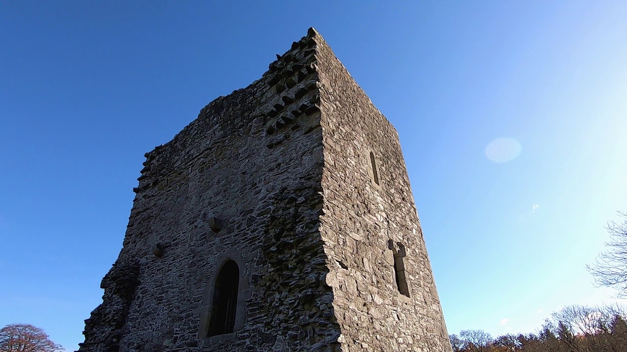 CastleCastle, motte · 4.0 mi
 Luke O'Toole MemorialMemorial · 4.3 mi
 The Black StairsNamed rock · 4.4 mi