What is recorded here
Three earthen rings stood on the Carrignafoy slope, watching Cork Harbour until road builders cut through them. The largest measured thirty metres across when drawn in 1842, but Healy wrote in 1904 that all three had vanished. The fort is gone, yet its shape remains in the land: a circular absence where soil and memory still press against the tyre of the road.
On S-facing slope, overlooking Cork Harbour. Shown on 1842 OS 6-inch map as circular enclosure (diam. c. 30m). Road now runs through site; no visible surface trace. According to Healy (1904, 114) 'The three (lioses) at Carrignafoy are also gone'.
The above description is derived from the published 'Archaeological Inventory of County Cork. Volume 2: East and South Cork' (Dublin: Stationery Office, 1994). In certain instances the entries have been revised and updated in the light of recent research.
Date of upload/revision: 14 January 2009
The monument record does not grant public access. Check the route and ask the landowner before entering private land.
- What survives
- Recorded monument
Places near here
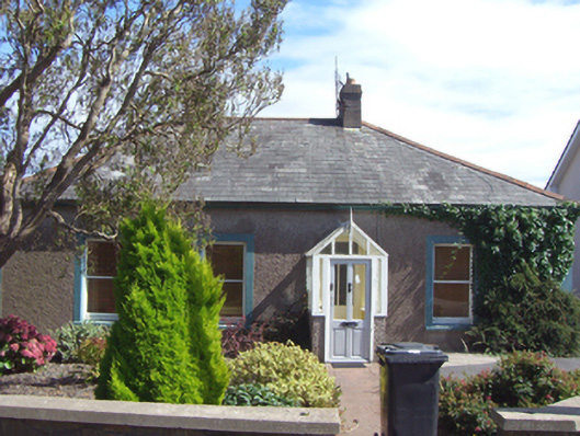 Briar Homehouse · 57 yd
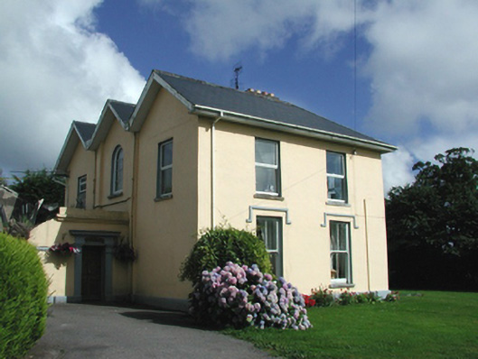 The Elmshouse · 65 yd
 The BenchViewpoint · 433 yd
 Fulacht fia in CarrignafoyFulacht fia · 472 yd
 Titanic Memorial GardenHeritage attraction · 561 yd
 Cork Harbour TragedyMemorial · 824 yd
 Saint Colman's Cathedral, CobhCathedral · 894 yd
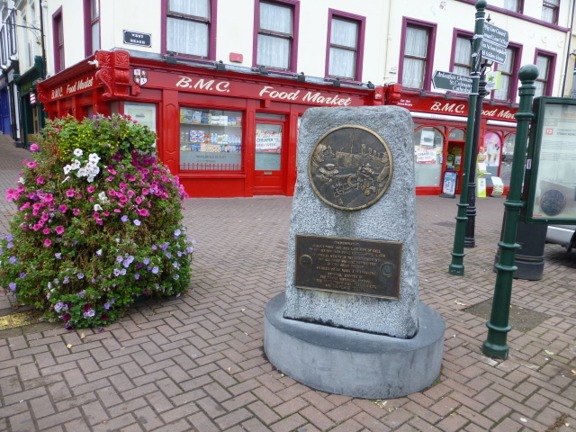 Titanic MemorialMemorial · 1003 yd
 Cobh Tourist OfficeVisitor information · 1061 yd
 HaulbowlineIslet · 1.2 mi
 Ordnance Ground, Admiralty PropertyBastioned fort · 1.3 mi
 Rocky IslandIslet · 1.4 mi