
What is recorded here
Ordnance Ground on Haulbowline is a lost bastioned fort, abandoned by 1624 after Paul Ive built it in 1602. The sea and neglect erased most of its shape, leaving only a suggestion beneath later military buildings. What remains is a place where maps and memory disagree, and the rock keeps more than the stones admit.
On rocky island of Haulbowline, between Great Island and Ringaskiddy, in Cork Harbour. Possible Viking occupation of island (Jefferies 1985, 16) maybe reflected in name (O Murchadha 1982, 142). Earliest known fortification here is fort begun in summer of 1602 to design of Paul Ive (Ives/Ivye)(Brunicardi 1982, 8-12); though garrisoned in October still unfinished by March 1603 (Hayes-McCoy 1604, 32). Contemporary plans show 'an irregular work based on a quadrangle with demi-bastions on the north, or cliff edge, and two bastions on the southern corners' (Gowen 1978, 246). Slightly later (1608-11), a keep, gatehouse, etc. were added (ibid, 249). Brunicardi (1965-6, 21) describes remains of some of these features, including keep 'now only about 15 feet in height', but Gowen (1979, 251) found 'the whole area has been subject to much disturbance' and concludes 'it is unlikely that any diagnostic features remain'. By 1624 fort abandoned and remained in disrepair throughout rest of 17th and 18th centuries (Brunicardi 1982,11-15). In 1806 island divided between Ordnance (W) and Navy (E), the line marked by high stone wall. Ordnance built Martello Tower (CO087-05903-) on high ground to N in area of old fort; also a barracks with storehouses,workshops etc.. Navy built a supply depot or victualling yard, most prominent feature of which was six large warehouses, still surviving, as do many other early 19th century buildings shown on 1842 OS 6-inch map. Later dockyard (1865-1887) built on reclaimed ground to E of island (Brunicardi, 1965-6, 28-32). Island now jointly shared by Irish Naval Service and Irish Steel.
The above description is derived from the published 'Archaeological Inventory of County Cork. Volume 2: East and South Cork' (Dublin: Stationery Office, 1994). In certain instances the entries have been revised and updated in the light of recent research.
Date of upload/revision: 14 January 2009
A local fairy fort (ringfort/rath) on Haulbowline Island, likely early medieval in date, situated on a rocky island with possible Viking associations; folklore and historical records are sparse, though the site may reflect both prehistoric and later military uses of the island.
The monument record does not grant public access. Check the route and ask the landowner before entering private land.
- What survives
- Recorded monument
Places near here
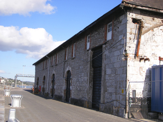 store/warehousestore/warehouse · 31 yd
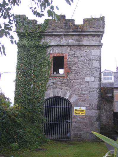 fortificationfortification · 53 yd
 Martello TowerMartello tower · 76 yd
 HaulbowlineIslet · 411 yd
 Rocky IslandIslet · 664 yd
 Cork Red Marble SeamNamed rock · 675 yd
 Cobh Heritage CentreMuseum · 972 yd
 Heritage CentreMuseum · 999 yd
 Scots ChurchMemorial · 1026 yd
 Carrig HouseMemorial · 1056 yd
 Cobh Tourist OfficeVisitor information · 1340 yd
 Enclosure in BarnahelyEnclosure · 1.9 mi
Other information
Photo: Credit not shown in the picture search · Rights wording not checked; contact us if this picture should be removed