What is recorded here
Situated on the E-facing slope of Mullacreven Hill and on the summit of inland promontory fort (ME005-075----). Just E of house (ME005-075001-) there is a second house (int. dims 4.7m NNW-SSE; 2.1m plus ENE-WSW) defined by slight earthen banks (Wth 1.5m; H 0.3m), but its W side is open or missing.
Compiled by: Michael Moore
Date of upload: 5 September 2018
The monument record does not grant public access. Check the route and ask the landowner before entering private land.
- What survives
- Recorded monument
Places near here
 Big RockPromontory fort, inland · 7 yd
 North Mullaghmore WoodWood · 827 yd
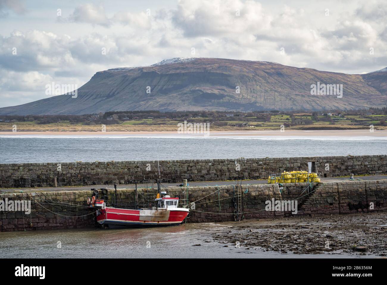 South Mullaghmore WoodWood · 1245 yd
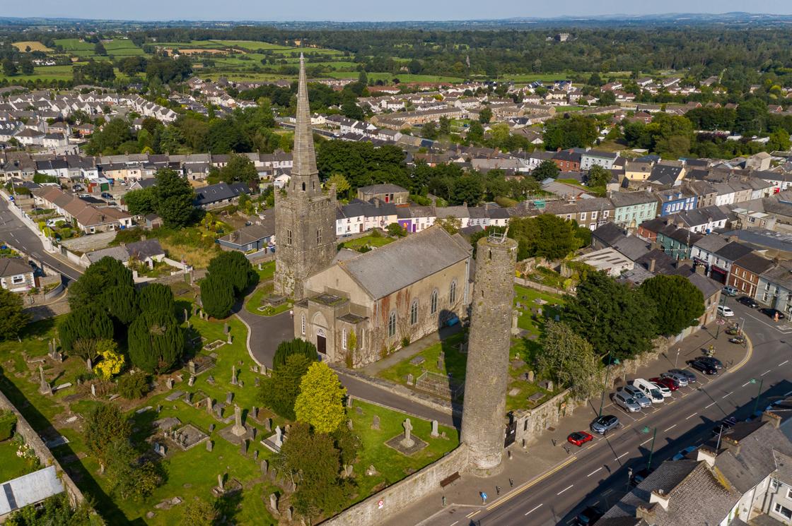 IndicatedFairy fort / earthen ringfort · 1486 yd
 UghtyneillMountain / peak · 1662 yd
 Castle (in Ruins)Castle, unclassified · 1.1 mi
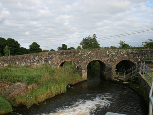 Rosehill Bridgebridge · 1.4 mi
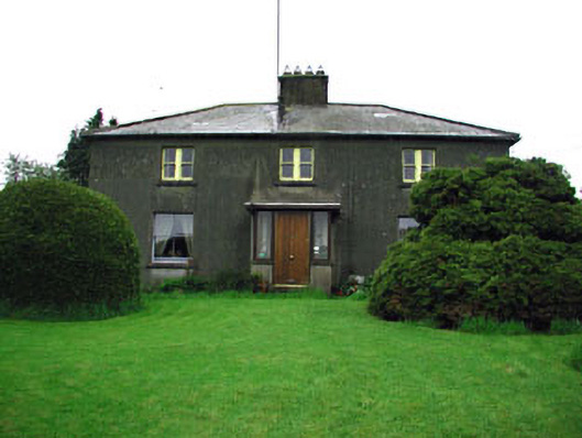 Woodlandsfarm house · 1.4 mi
 CastleCastle, motte · 1.5 mi
 Moynalty Steam Threshing MuseumMuseum · 1.8 mi
 Owenroe and Moynalty DrainageMemorial · 3.3 mi
 Sally IslandIslet · 3.6 mi