What is recorded here
The following description is derived from the published 'Archaeological Inventory of County Carlow' (Dublin: Stationery Office, 1993). In certain instances the entries have been revised and updated in the light of recent research.
Date of upload/revision: 17 July 2007
Aerial photograph (CUCAP BDS 40) shows cropmark of arc of fosse apparently defining oval enclosure from SSE-SW-NNW (diam. c. 65m).
The monument record does not grant public access. Check the route and ask the landowner before entering private land.
- What survives
- Recorded monument
Places near here
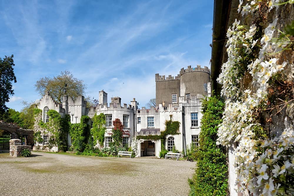 Enclosure in CastlegraceEnclosure · 380 yd
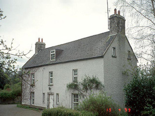 Milkpark Housefarm house · 444 yd
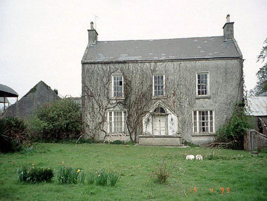 Aghade Corn Millmiller's house · 615 yd
 Castlegrace MoatCastle, motte · 943 yd
 Enclosure in CarrickslaneyEnclosure · 1070 yd
 Scots PineScots Pine · 1.5 mi
 Altamont Gardens MapVisitor information · 1.6 mi
 Altamont House and GardensHeritage attraction · 1.6 mi
 Church (in ruins), GraveyardChurch · 1.9 mi
 CastleCastle, motte and bailey · 2.5 mi
 Rath WoodForest · 3.8 mi
 Kilmurry Church (in ruins), GraveyardChurch · 4.0 mi