What is recorded here
Indicated is a faded ringfort in County Cavan, Ireland, where a low earth and stone bank still marks the edge of a lost home. The northwest part has been levelled, the southeast part has become a small field, and an ordinary boundary cuts across the middle. What remains is not a grand ruin but a subtle line in the land, waiting for someone to walk it and imagine the lives that turned it into a place.
Marked 'Fort' on OS 1836 ed. and 'Site of' on 1876 ed. Site is divided into two roughly equal portions by a field boundary aligned NE-SW. NW of this the site has been levelled while the SE portion has been transformed into a small field. It is enclosed by a low bank of earth and stone similar in morphology to other field boundaries in the vicinity and presumably follows the original plan of the perimeter. Original int. diam. of rath c. 22.5m.
The above description is derived from the published 'Archaeological Inventory of County Cavan' (Dublin: Stationery Office, 1995). In certain instances the entries have been revised and updated in the light of recent research.
Date of upload/revision: 22 December 2008
The monument record does not grant public access. Check the route and ask the landowner before entering private land.
- What survives
- Recorded monument
Places near here
 Bush IslandIslet · 360 yd
 Gull IslandIslet · 398 yd
 Sillan LakeshoreWood · 425 yd
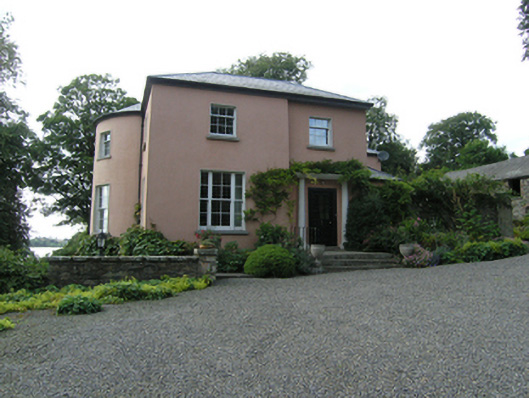 Lough Sillan Houserectory/glebe/vicarage/curate's house · 872 yd
 St Patrick's Roman Catholic Churchchurch/chapel · 885 yd
 Bawn in LisdrumskeaBawn · 889 yd
 CarrickcreenyMountain / peak · 991 yd
 Wedge tomb in LisnadarraghWedge tomb · 1451 yd
 Fairy fort / earthen ringfort in CargaghogeFairy fort / earthen ringfort · 1505 yd
 RaferaghMountain / peak · 2.5 mi
 Kinnea Corlattylannan ForestForest · 2.6 mi
 Senator Billy Fox 1939 - 1974Memorial · 2.8 mi