What is recorded here
Enclosure in Carrickconeen is an enclosure in Carrickconeen, County Tipperary, Ireland. It occupies a hilltop and part of a south-east facing slope, with a roughly D-shaped boundary measuring 64.6 metres north-south and 80.8 metres east-west. Inside, earthen banks divide the space into smaller areas, including a rectangular section in the south-east quadrant and raised platforms in the south-west and north sectors. A small circular enclosure and an original entrance sit in the west quadrant, while a mound with a central depression lies near the centre.
Monument encloses the summit of a hill and portion of a SE-facing slope, in an area of rock outcrop and undulating pasture. Some outcrop occupies the interior of the enclosure, particularly in the NW quadrant. There is a small limestone quarry immediately NW of the enclosure. Nicholastown Castle (TS082-043001-) visible to W. Enclosures (TS082-044---- and TS082-045----), though both levelled, would have been visible to the SW. Large, roughly D-shaped enclosure (dims. 64.6m N-S x 80.8m E-W) enclosed by an earthen bank with a lot of stones (Wth 1.1m crest, 3.1m base; int. H 0.8m; ext. H 0.92m). There is an external fosse in the NE quadrant (Wth 1.8-2m; D 0.6m) which widens towards the E quadrant, but its sharp profile would suggest it is a recently cut ditch, perhaps the result of quarrying activity. Portion of the interior is sub-divided by internal banks, forming a rectangular area in the SE quadrant (dims. 39.4m N-S x 30.8m E-W) with an internal raised platform. There is a similar raised platform in the SW quadrant and another bank running N-S in the N sector. Towards the centre of the monument there is a mound (dims. 5.9m N-S x 6.8m E-W; H 0.7m) with a central depression (dims. 1.4m x 1.8m; D 0.2m). Running up to the bank in the W quadrant there is a small, roughly circular enclosure (dims. 7.4m x 7.7m). Also in the W quadrant there is an entrance (Wth 2.26m) which appears to be original. Externally a bank runs E-W towards this entrance, this may be the S side of a old roadway. The entrance is used by farm machinery, with a narrower, probably modern, entrance (Wth 2m) opposite in the E quadrant. A break in the bank in the NE quadrant is due to cattle erosion. This monument is comparable to enclosures with internal divisions at Annacrivey (WI007-010----) and Ballymaghroe (WI033-010----) in Wicklow (Grogan and Kilfeather 1997, 72, 77) and Commons (LH005-032----; LH005-035001-) in Louth (Buckley and Sweetman 1991, 167).
Compiled by: Jean Farrelly
Date of upload: 21 January 2014
The monument record does not grant public access. Check the route and ask the landowner before entering private land.
- What survives
- Recorded monument
Places near here
 Man-made underground passage in GarryntempleMan-made underground passage · 701 yd
 Enclosure in Kilmolash LowerEnclosure · 926 yd
 Nicholastown Castle (in ruins)Castle, tower house · 1714 yd
 DeerparkWood · 1.5 mi
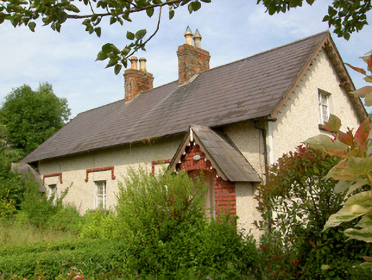 worker's houseworker's house · 1.5 mi
 Derrygrath Church (in ruins)Church · 1.5 mi
 Marlfield Forest Recreation AreaWood · 1.5 mi
 CastleCastle, ringwork · 1.8 mi
 Grubb's IslandIslet · 4.2 mi
 Streches IslandIsland · 4.2 mi
 Merchant's HouseVisitor information · 4.2 mi
 Francis HopkinsMemorial · 4.3 mi