What is recorded here
Described as a Danish fort on a map of Lord Cremone's estates (NLI: ms. 3201, 22), dated 1777-80), and marked as an oval embanked enclosure (ext. dims. c. 45m E-W c. 35m N-S) on the 1840 ed. of the OS 6-inch map. Situated in a garden on a gentle SW-facing slope, it is not visible at ground level.
The above description is derived from the published 'Archaeological Inventory of County Waterford' (Dublin: Stationery Office, 1999). In certain instances the entries have been revised and updated in the light of recent research.
Compied by: Michael Moore
Date of upload/revision: 19 October, 2011
The monument record does not grant public access. Check the route and ask the landowner before entering private land.
- What survives
- Recorded monument
Places near here
 Catholic Church of the Holy Crosschurch/chapel · 163 yd
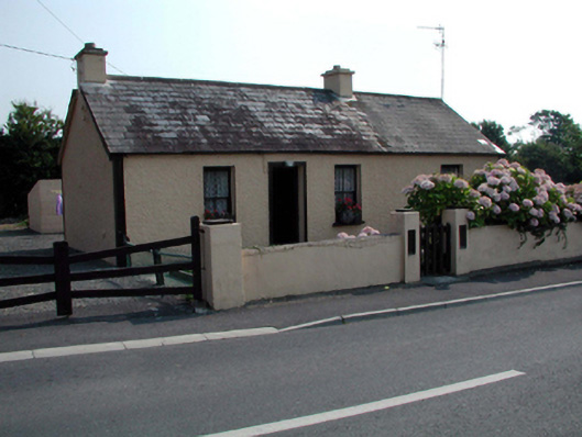 Hawthorn Cottagehouse · 212 yd
 Stradbally Geological SundialHeritage attraction · 784 yd
 StradballySettlement cluster · 881 yd
 Embanked enclosureEnclosure · 1206 yd
 Stradbally CoveBeach / strand · 1678 yd
 Castle (in ruins)Castle, unclassified · 1724 yd
 Bawn in Castlequarter (decies Without Drum By., Kilrossanty Par.)Bawn · 2.4 mi
 Grange WellSpring · 2.6 mi
 Ballydowane CoveBeach / strand · 2.7 mi
 Trá na mBóVisitor information · 3.9 mi
 Bunmahon Miners' CottagesVisitor information · 4.1 mi