What is recorded here
Fairy fort / earthen ringfort in Carnybrogan is a fairy fort or earthen ringfort in Carnybrogan, County Westmeath, Ireland. It occupies a prominent natural rise in undulating grassland and consists of a raised circular area approximately 32 metres in diameter from east to west. This site is enclosed by two poorly preserved earthen banks separated by an intervening fosse, with an additional external fosse present. The interior is bisected by a field fence running northeast to southwest, while the southeast quadrant contains a wide shallow depression.
Situated on top of a prominent natural rise in undulating grassland. A raised circular shaped area (approx. diam. 32m E-W) enclosed by two poorly preserved earthen banks separated by an intervening fosse with external fosse. The interior has been bisected by a field fence running NE-SW. The SE quadrant contains a wide shallow depression. A series of banks and scarps outside the inner bank appear to be related to the construction of post-1700 field fences.
See attached plan of monument surveyed and drawn by the ASI.
Compiled by: Frank Coyne and Caimin O'Brien
Date of upload: 28 April 2017
The monument record does not grant public access. Check the route and ask the landowner before entering private land.
- What survives
- Recorded monument
Places near here
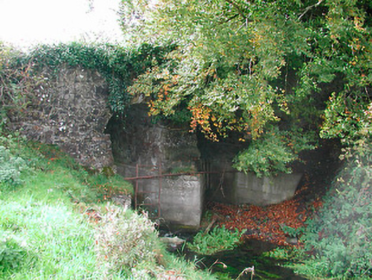 Snipe's Bridgebridge · 800 yd
 OutlinedFairy fort / earthen ringfort · 882 yd
 CastleCastle, unclassified · 1030 yd
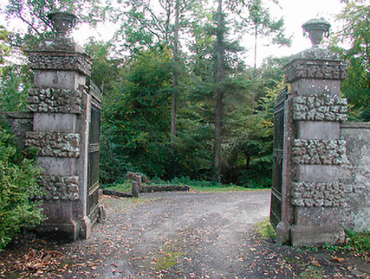 Ballinlough Castledemesne walls/gates/railings · 1.1 mi
 European YewEuropean Yew · 1.3 mi
 Persian WalnutPersian Walnut · 1.3 mi
 IndicatedFairy fort / earthen ringfort · 1.5 mi
 Clonarney Church (in Ruins)Castle, tower house · 1.5 mi
 Drewstown LittleMountain / peak · 3.6 mi
 Kells HillMountain / peak · 3.9 mi
 BoglandMemorial · 5.3 mi
 Zip WireHeritage attraction · 7.1 mi